7H-Grammat_radweg
- 22.1 km
- 18 m
- 50 m
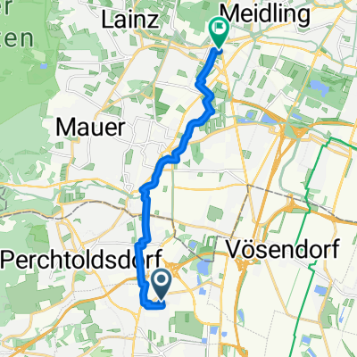
- Brunn am Gebirge, Lower Austria, Austria
A cycling route starting in Brunn am Gebirge, Lower Austria, Austria.
Overview
7hirten - rodaun - breitenfurt - wolfsgraben - brentenmais - tullnerbach - pressbaum - pfalzau - klaushäuseln - aggsbach - mitterriegel - klausen-leopoldsdorf - hainbach - geschriebene Buche - Gruberau - linke Wöglerin - Stangau - kaltenleutgeben - rodaun - 7hirten _ = 65 _ 1400
Route quality
Road
14.8 km
(23 %)
Quiet road
9 km
(14 %)
Paved
55.9 km
(87 %)
Unpaved
0.6 km
(1 %)
Asphalt
55.9 km
(87 %)
Gravel
0.6 km
(1 %)
Undefined
7.7 km
(12 %)
Continue with Bikemap
You would like to ride 7hirten-wienerwald-7hirten (brentenmais) or customize it for your own trip? Here is what you can do with this Bikemap route:
Free trial for 3 days, or one-time payment. More about Bikemap Premium.
Discover more Premium features.
Get Bikemap PremiumFrom our community
Open it in the app