

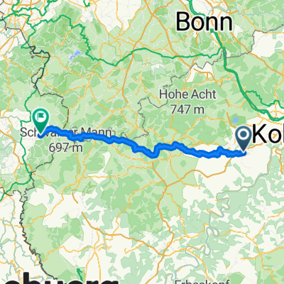
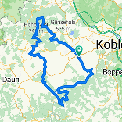
20150729_060217.gpx
A cycling route starting in Polch, Rhineland-Palatinate, Germany.
Overview
About this route
TEASI track
- -:--
- Duration
- 7.1 km
- Distance
- 84 m
- Ascent
- 88 m
- Descent
- ---
- Avg. speed
- ---
- Max. altitude

Route quality
Waytypes & surfaces along the route
Waytypes
Road
4 km
(57 %)
Quiet road
0.6 km
(9 %)
Surfaces
Paved
2.5 km
(35 %)
Asphalt
2.5 km
(35 %)
Undefined
4.6 km
(65 %)
Continue with Bikemap
Use, edit, or download this cycling route
You would like to ride 20150729_060217.gpx or customize it for your own trip? Here is what you can do with this Bikemap route:
Free features
- Save this route as favorite or in collections
- Copy & plan your own version of this route
- Sync your route with Garmin or Wahoo
Premium features
Free trial for 3 days, or one-time payment. More about Bikemap Premium.
- Navigate this route on iOS & Android
- Export a GPX / KML file of this route
- Create your custom printout (try it for free)
- Download this route for offline navigation
Discover more Premium features.
Get Bikemap PremiumFrom our community
Other popular routes starting in Polch
 Polch nach Zur Mühle
- Distance
- 105.3 km
- Ascent
- 1,766 m
- Descent
- 1,496 m
- Location
- Polch, Rhineland-Palatinate, Germany
 20150729_060217.gpx
- Distance
- 7.1 km
- Ascent
- 84 m
- Descent
- 88 m
- Location
- Polch, Rhineland-Palatinate, Germany
 Maifeld - Mosel - RTF des VfB Polch e.V. Abt. Radsport - 45 km Strecke (bis 2015)
- Distance
- 42.1 km
- Ascent
- 310 m
- Descent
- 310 m
- Location
- Polch, Rhineland-Palatinate, Germany
 Maifeld - Mosel - RTF des VfB Polch e.V. Abt. Radsport - 112 km Strecke (bis 2015)
- Distance
- 107.5 km
- Ascent
- 805 m
- Descent
- 807 m
- Location
- Polch, Rhineland-Palatinate, Germany
 Polch-Kobern-Hatzenport-Polch
- Distance
- 44.1 km
- Ascent
- 405 m
- Descent
- 405 m
- Location
- Polch, Rhineland-Palatinate, Germany
 Hunsrück Rhein Mosel Tour 80 km
- Distance
- 78.8 km
- Ascent
- 919 m
- Descent
- 916 m
- Location
- Polch, Rhineland-Palatinate, Germany
 Maifeld - Mosel - RTF des VfB Polch e.V. Abt. Radsport - 171 km Strecke
- Distance
- 171.6 km
- Ascent
- 4,797 m
- Descent
- 4,795 m
- Location
- Polch, Rhineland-Palatinate, Germany
 Thür-Ochtendung
- Distance
- 32 km
- Ascent
- 308 m
- Descent
- 306 m
- Location
- Polch, Rhineland-Palatinate, Germany
Open it in the app