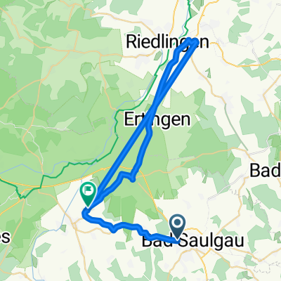
Rund um den Federsee
- 42.8 km
- 207 m
- 207 m
- Bad Saulgau, Baden-Wurttemberg, Germany
A cycling route starting in Bad Saulgau, Baden-Wurttemberg, Germany.
Overview
As the title says... (cloned from route 2831150)
created this 10 years ago
Route quality
Quiet road
12.4 km
(29 %)
Track
12.4 km
(29 %)
Paved
21.4 km
(50 %)
Unpaved
9 km
(21 %)
Asphalt
19.2 km
(45 %)
Gravel
5.1 km
(12 %)
Continue with Bikemap
You would like to ride Rund um den Federsee or customize it for your own trip? Here is what you can do with this Bikemap route:
Free trial for 3 days, or one-time payment. More about Bikemap Premium.
Discover more Premium features.
Get Bikemap PremiumFrom our community
Open it in the app