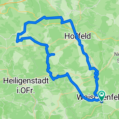
Fränkische Schweiz - Bierquellen-Runde
- 55.9 km
- 850 m
- 850 m
- Waischenfeld, Bavaria, Germany
A cycling route starting in Waischenfeld, Bavaria, Germany.
Overview
created this 10 years ago
Route quality
Quiet road
18.4 km
(44 %)
Road
8.8 km
(21 %)
Paved
23.4 km
(56 %)
Asphalt
23.4 km
(56 %)
Undefined
18.4 km
(44 %)
Continue with Bikemap
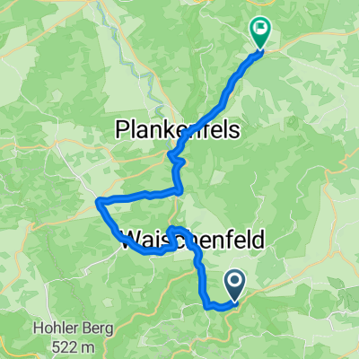
You would like to ride Um Waischefeld or customize it for your own trip? Here is what you can do with this Bikemap route:
Free trial for 3 days, or one-time payment. More about Bikemap Premium.
Discover more Premium features.
Get Bikemap PremiumFrom our community
Open it in the app