

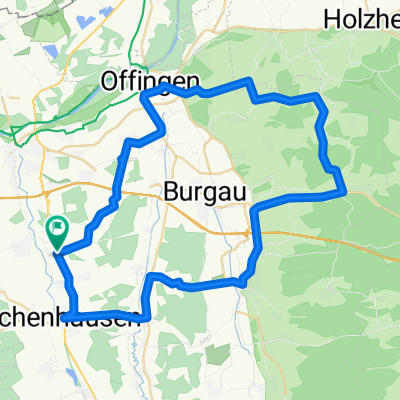
Wiesenbach
A cycling route starting in Ichenhausen, Bavaria, Germany.
Overview
About this route
- 1 h 28 min
- Duration
- 18.6 km
- Distance
- 68 m
- Ascent
- 70 m
- Descent
- 12.7 km/h
- Avg. speed
- ---
- Max. altitude

Route quality
Waytypes & surfaces along the route
Waytypes
Road
7.3 km
(39 %)
Track
6.5 km
(35 %)
Surfaces
Paved
11.9 km
(64 %)
Unpaved
3.4 km
(18 %)
Asphalt
11.7 km
(63 %)
Gravel
3.4 km
(18 %)
Route highlights
Points of interest along the route

Point of interest after 13.3 km

Point of interest after 13.3 km
Continue with Bikemap
Use, edit, or download this cycling route
You would like to ride Wiesenbach or customize it for your own trip? Here is what you can do with this Bikemap route:
Free features
- Save this route as favorite or in collections
- Copy & plan your own version of this route
- Sync your route with Garmin or Wahoo
Premium features
Free trial for 3 days, or one-time payment. More about Bikemap Premium.
- Navigate this route on iOS & Android
- Export a GPX / KML file of this route
- Create your custom printout (try it for free)
- Download this route for offline navigation
Discover more Premium features.
Get Bikemap PremiumFrom our community
Other popular routes starting in Ichenhausen
 1. Route 2014
- Distance
- 50.1 km
- Ascent
- 196 m
- Descent
- 197 m
- Location
- Ichenhausen, Bavaria, Germany
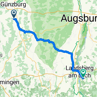 Ichenhausen - Pürgen
- Distance
- 78.7 km
- Ascent
- 888 m
- Descent
- 712 m
- Location
- Ichenhausen, Bavaria, Germany
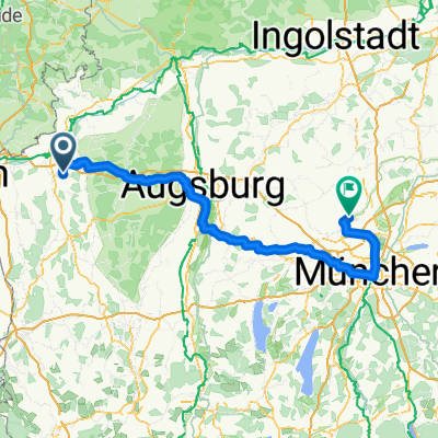 Geislingen an der Steige - Althegnenberg
- Distance
- 158.1 km
- Ascent
- 762 m
- Descent
- 786 m
- Location
- Ichenhausen, Bavaria, Germany
 Waldkirch - Winterbach
- Distance
- 54.5 km
- Ascent
- 365 m
- Descent
- 365 m
- Location
- Ichenhausen, Bavaria, Germany
 Unterallgäu Märxle Bedernau
- Distance
- 73.5 km
- Ascent
- 317 m
- Descent
- 317 m
- Location
- Ichenhausen, Bavaria, Germany
 Günztal-Runde
- Distance
- 96.9 km
- Ascent
- 398 m
- Descent
- 403 m
- Location
- Ichenhausen, Bavaria, Germany
 Heimatroute
- Distance
- 26.8 km
- Ascent
- 198 m
- Descent
- 197 m
- Location
- Ichenhausen, Bavaria, Germany
 Abend Tour
- Distance
- 29.8 km
- Ascent
- 297 m
- Descent
- 298 m
- Location
- Ichenhausen, Bavaria, Germany
Open it in the app