

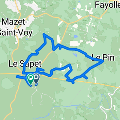
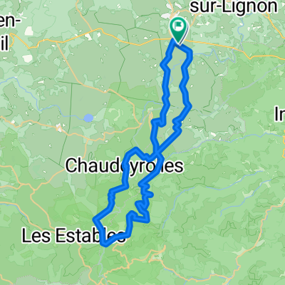
6. Fay-sur-Lignon - Chapeauroux
A cycling route starting in Mazet-Saint-Voy, Auvergne-Rhône-Alpes, France.
Overview
About this route
- Fay-sur-Lignon - Chapeauroux 1/2 (cloned from route 3196905)
- -:--
- Duration
- 59.8 km
- Distance
- 824 m
- Ascent
- 1,223 m
- Descent
- ---
- Avg. speed
- ---
- Max. altitude

Route quality
Waytypes & surfaces along the route
Waytypes
Busy road
33.7 km
(56 %)
Quiet road
12.2 km
(20 %)
Surfaces
Paved
30.8 km
(52 %)
Unpaved
0.4 km
(<1 %)
Asphalt
30.8 km
(52 %)
Gravel
0.4 km
(<1 %)
Continue with Bikemap
Use, edit, or download this cycling route
You would like to ride 6. Fay-sur-Lignon - Chapeauroux or customize it for your own trip? Here is what you can do with this Bikemap route:
Free features
- Save this route as favorite or in collections
- Copy & plan your own version of this route
- Sync your route with Garmin or Wahoo
Premium features
Free trial for 3 days, or one-time payment. More about Bikemap Premium.
- Navigate this route on iOS & Android
- Export a GPX / KML file of this route
- Create your custom printout (try it for free)
- Download this route for offline navigation
Discover more Premium features.
Get Bikemap PremiumFrom our community
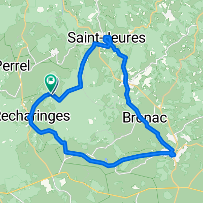
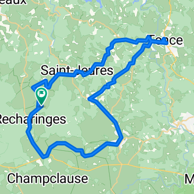
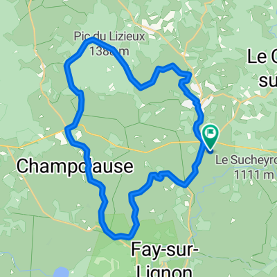
Other popular routes starting in Mazet-Saint-Voy
 6. Fay-sur-Lignon - Chapeauroux
- Distance
- 59.8 km
- Ascent
- 824 m
- Descent
- 1,223 m
- Location
- Mazet-Saint-Voy, Auvergne-Rhône-Alpes, France
 Route de la Détourbe, Mazet-Saint-Voy à Route de la Détourbe, Mazet-Saint-Voy
- Distance
- 12.3 km
- Ascent
- 204 m
- Descent
- 206 m
- Location
- Mazet-Saint-Voy, Auvergne-Rhône-Alpes, France
 De Boucharin à Boucharin
- Distance
- 23.3 km
- Ascent
- 583 m
- Descent
- 583 m
- Location
- Mazet-Saint-Voy, Auvergne-Rhône-Alpes, France
 De Boucharin à Boucharin
- Distance
- 42.8 km
- Ascent
- 631 m
- Descent
- 682 m
- Location
- Mazet-Saint-Voy, Auvergne-Rhône-Alpes, France
 43 Mazalibrand Tence et retour
- Distance
- 15.8 km
- Ascent
- 346 m
- Descent
- 348 m
- Location
- Mazet-Saint-Voy, Auvergne-Rhône-Alpes, France
 Route de la Détourbe, Mazet-Saint-Voy à Route de la Détourbe, Mazet-Saint-Voy
- Distance
- 30.5 km
- Ascent
- 513 m
- Descent
- 518 m
- Location
- Mazet-Saint-Voy, Auvergne-Rhône-Alpes, France
 Route de la Détourbe, Mazet-Saint-Voy à Route de la Détourbe, Mazet-Saint-Voy
- Distance
- 46.8 km
- Ascent
- 939 m
- Descent
- 945 m
- Location
- Mazet-Saint-Voy, Auvergne-Rhône-Alpes, France
 Ardeche 2 - 30/04
- Distance
- 31.7 km
- Ascent
- 881 m
- Descent
- 716 m
- Location
- Mazet-Saint-Voy, Auvergne-Rhône-Alpes, France
Open it in the app