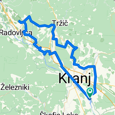
Kranj-Zelezniki-Sorica-Bohinj-Bled-Kranj
- 119.2 km
- 1,099 m
- 1,099 m
- Hrastje, Občina Šenčur, Slovenia
A cycling route starting in Hrastje, Občina Šenčur, Slovenia.
Overview
Kranj-Zelezniki-Sorica-Bohinj-Bled-Kranj
created this 10 years ago
Route quality
Quiet road
20.3 km
(17 %)
Road
3.6 km
(3 %)
Paved
109.7 km
(92 %)
Unpaved
1.2 km
(1 %)
Asphalt
106.1 km
(89 %)
Paved (undefined)
3.6 km
(3 %)
Continue with Bikemap
You would like to ride Kranj-Zelezniki-Sorica-Bohinj-Bled-Kranj or customize it for your own trip? Here is what you can do with this Bikemap route:
Free trial for 3 days, or one-time payment. More about Bikemap Premium.
Discover more Premium features.
Get Bikemap PremiumFrom our community
Open it in the app