Quer über die Sophienhöhe
- 18.7 km
- 270 m
- 242 m
- Jülich, North Rhine-Westphalia, Germany
A cycling route starting in Jülich, North Rhine-Westphalia, Germany.
Overview
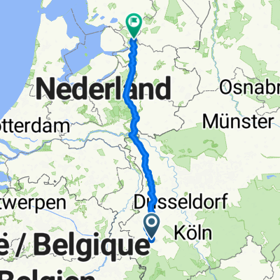
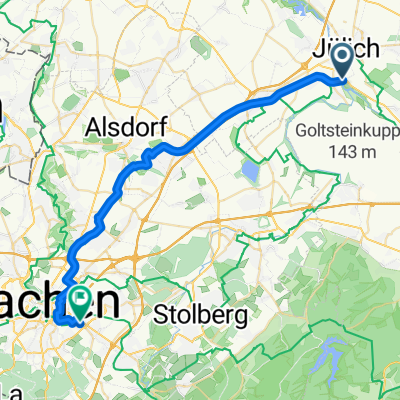
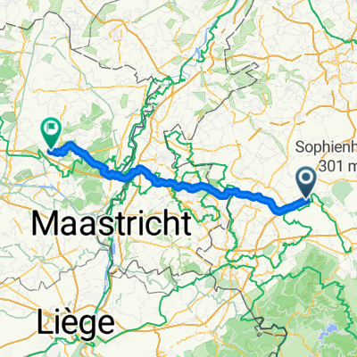
RTF Welldorf 2009 - 115 km route - Late summer tour GPS data of the RTF. The data have been edited. The access routes to and from refreshment stops have been removed. Start and finish are designed so that the beginning and end are immediately recognized and can be followed as a track.
created this 16 years ago
Continue with Bikemap
You would like to ride RTF Welldorf 2009 - 115er Strecke - Spätsommertour or customize it for your own trip? Here is what you can do with this Bikemap route:
Free trial for 3 days, or one-time payment. More about Bikemap Premium.
Discover more Premium features.
Get Bikemap PremiumFrom our community
Open it in the app