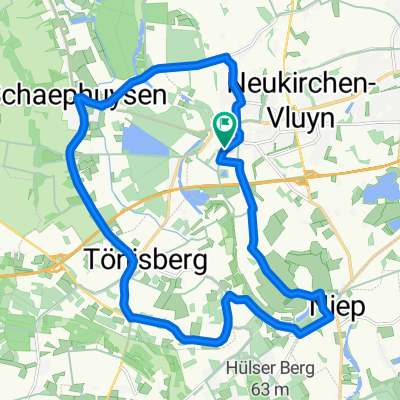
Niederweide 3, Kempen nach Pastoratsbenden 6, Kempen
- 42.2 km
- 619 m
- 673 m
- Rheurdt, North Rhine-Westphalia, Germany
A cycling route starting in Rheurdt, North Rhine-Westphalia, Germany.
Overview
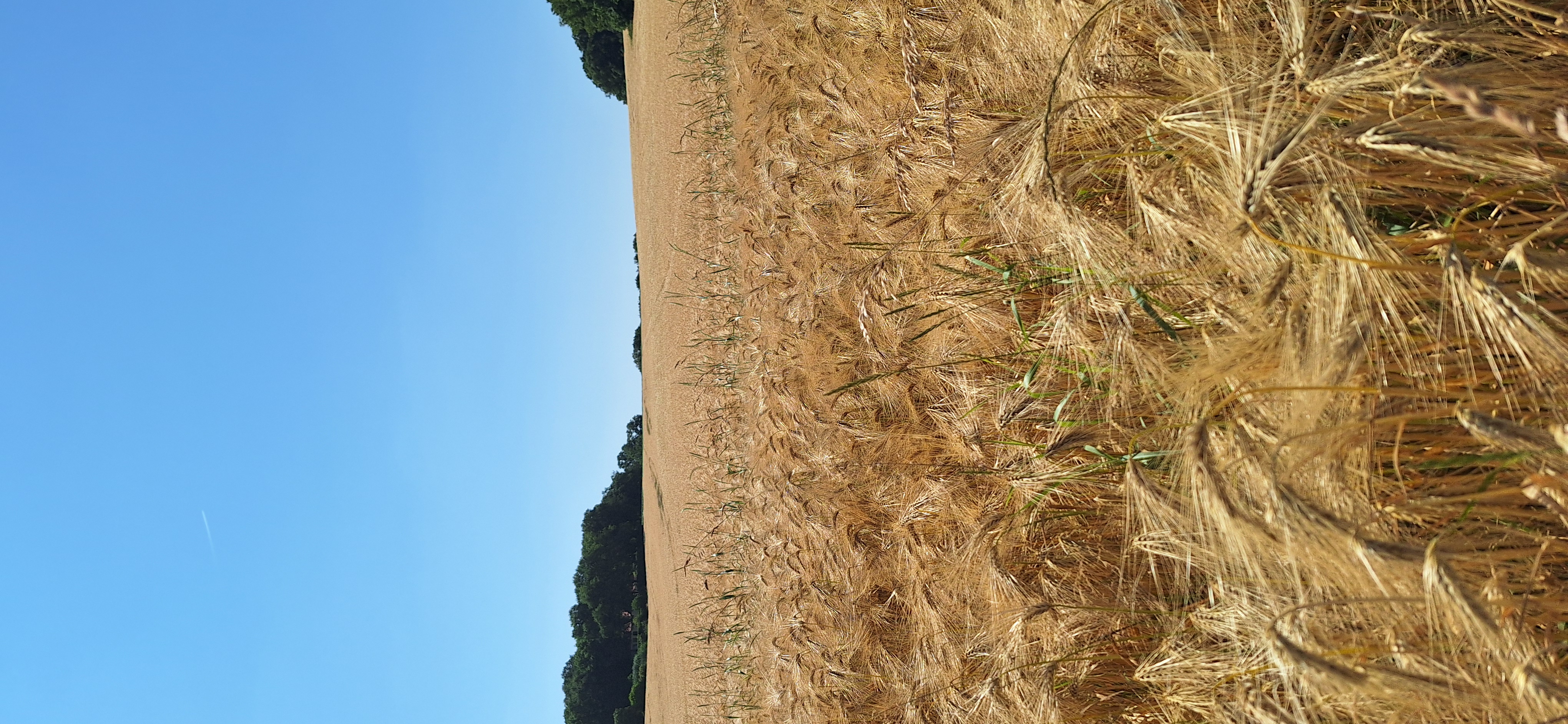
Flat Lower Rhine route with few climbs
created this 10 years ago
Route quality
Quiet road
20.2 km
47 %
Path
8.6 km
20 %
Paved
37.4 km
(87 %)
Unpaved
4.3 km
(10 %)
Asphalt
36.6 km
85 %
Gravel
3.4 km
8 %
Continue with Bikemap
You would like to ride Rheurdt Kempen - St.Tönis or customize it for your own trip? Here is what you can do with this Bikemap route:
Free trial for 3 days, or one-time payment. More about Bikemap Premium.
Discover more Premium features.
Get Bikemap PremiumFrom our community
Open it in the app