

cered150808
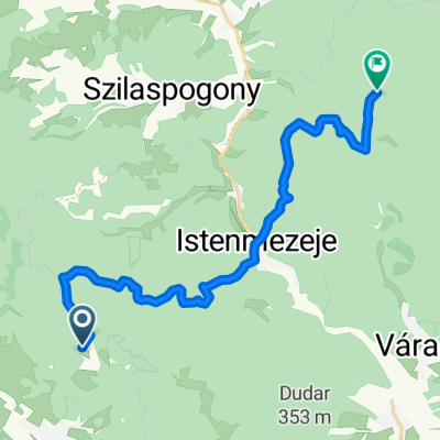
A cycling route starting in Mátranovák, Nógrád megye, Hungary.
Overview
About this route
ez egy járható útvonal, ami helyenként járhatatlan
- -:--
- Duration
- 68.5 km
- Distance
- 1,200 m
- Ascent
- 1,201 m
- Descent
- ---
- Avg. speed
- ---
- Max. altitude
Continue with Bikemap
Use, edit, or download this cycling route
You would like to ride cered150808 or customize it for your own trip? Here is what you can do with this Bikemap route:
Free features
- Save this route as favorite or in collections
- Copy & plan your own version of this route
- Sync your route with Garmin or Wahoo
Premium features
Free trial for 3 days, or one-time payment. More about Bikemap Premium.
- Navigate this route on iOS & Android
- Export a GPX / KML file of this route
- Create your custom printout (try it for free)
- Download this route for offline navigation
Discover more Premium features.
Get Bikemap PremiumFrom our community
Other popular routes starting in Mátranovák
 Kohászok Útja 2
- Distance
- 17.9 km
- Ascent
- 446 m
- Descent
- 509 m
- Location
- Mátranovák, Nógrád megye, Hungary
 Cered-Tachty light MTB
- Distance
- 28.5 km
- Ascent
- 329 m
- Descent
- 327 m
- Location
- Mátranovák, Nógrád megye, Hungary
 Cered-Tachty light MTB
- Distance
- 32.9 km
- Ascent
- 326 m
- Descent
- 326 m
- Location
- Mátranovák, Nógrád megye, Hungary
 Miskolc
- Distance
- 88.7 km
- Ascent
- 946 m
- Descent
- 1,031 m
- Location
- Mátranovák, Nógrád megye, Hungary
 Megellős_Cered_20150926
- Distance
- 36.8 km
- Ascent
- 687 m
- Descent
- 686 m
- Location
- Mátranovák, Nógrád megye, Hungary
 Mátrai kanyar
- Distance
- 88.2 km
- Ascent
- 391 m
- Descent
- 391 m
- Location
- Mátranovák, Nógrád megye, Hungary
 cered150808
- Distance
- 68.5 km
- Ascent
- 1,200 m
- Descent
- 1,201 m
- Location
- Mátranovák, Nógrád megye, Hungary
Open it in the app