Bergauf - bergab. Hügelige Runde mit I
- 46.6 km
- 773 m
- 773 m
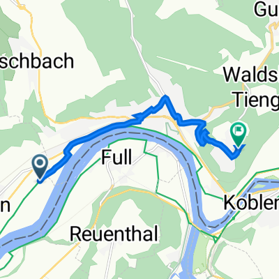
- Leibstadt, Canton of Aargau, Switzerland
A cycling route starting in Leibstadt, Canton of Aargau, Switzerland.
Overview
The most challenging part is the one over Zurzi Mountain.
created this 10 years ago
Route quality
Quiet road
3.4 km
(32 %)
Track
2.6 km
(25 %)
Paved
6.5 km
(62 %)
Unpaved
1.1 km
(10 %)
Asphalt
5 km
(47 %)
Paved (undefined)
1.6 km
(15 %)
Continue with Bikemap
You would like to ride Böttstein - Bad Zurzach 9.8.15 or customize it for your own trip? Here is what you can do with this Bikemap route:
Free trial for 3 days, or one-time payment. More about Bikemap Premium.
Discover more Premium features.
Get Bikemap PremiumFrom our community
Open it in the app