

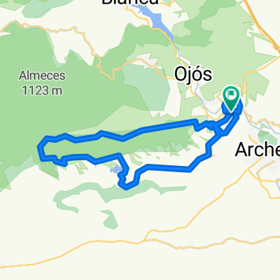
sierra ricote x cajal, y sierra de la pila
A cycling route starting in Ulea, Murcia, Spain.
Overview
About this route
we're going to Villanueva to take the road to Cajal, from Cajal to the right to climb the path of the Sierra de Ricote up to the antennas, once there we let ourselves fall down the trail to Abarán, where we will head towards the Sierra de la Pila climbing it and letting ourselves fall again looking for the town of Ulea, which is where we started.
- -:--
- Duration
- 91.6 km
- Distance
- 1,835 m
- Ascent
- 1,836 m
- Descent
- ---
- Avg. speed
- ---
- Max. altitude

Continue with Bikemap
Use, edit, or download this cycling route
You would like to ride sierra ricote x cajal, y sierra de la pila or customize it for your own trip? Here is what you can do with this Bikemap route:
Free features
- Save this route as favorite or in collections
- Copy & plan your own version of this route
- Split it into stages to create a multi-day tour
- Sync your route with Garmin or Wahoo
Premium features
Free trial for 3 days, or one-time payment. More about Bikemap Premium.
- Navigate this route on iOS & Android
- Export a GPX / KML file of this route
- Create your custom printout (try it for free)
- Download this route for offline navigation
Discover more Premium features.
Get Bikemap PremiumFrom our community
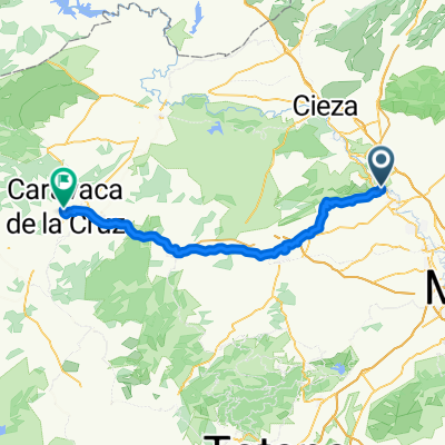
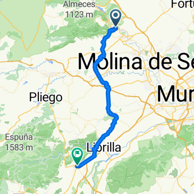
Other popular routes starting in Ulea
 VI Marcha Cross El Mayés 2015
- Distance
- 29.8 km
- Ascent
- 572 m
- Descent
- 572 m
- Location
- Ulea, Murcia, Spain
 sierra ricote x cajal, y sierra de la pila
- Distance
- 91.6 km
- Ascent
- 1,835 m
- Descent
- 1,836 m
- Location
- Ulea, Murcia, Spain
 ruta x sierra ricote, vuelta carretera cajal bajada por rambLA
- Distance
- 73.9 km
- Ascent
- 1,237 m
- Descent
- 1,237 m
- Location
- Ulea, Murcia, Spain
 De Calle Gambines a Plaza del Templete
- Distance
- 63.3 km
- Ascent
- 1,452 m
- Descent
- 961 m
- Location
- Ulea, Murcia, Spain
 sierra ricote
- Distance
- 56.2 km
- Ascent
- 1,238 m
- Descent
- 1,237 m
- Location
- Ulea, Murcia, Spain
 bike tour through Ulea
- Distance
- 22.9 km
- Ascent
- 221 m
- Descent
- 221 m
- Location
- Ulea, Murcia, Spain
 ulea charcas de caputa enbalse de la cierva
- Distance
- 76.6 km
- Ascent
- 1,209 m
- Descent
- 1,209 m
- Location
- Ulea, Murcia, Spain
 De Calle Gambines a Avenida Juan Carlos I
- Distance
- 47 km
- Ascent
- 898 m
- Descent
- 841 m
- Location
- Ulea, Murcia, Spain
Open it in the app