

gargantilla de lozoya-navacerrada
A cycling route starting in Garganta de los Montes, Madrid, Spain.
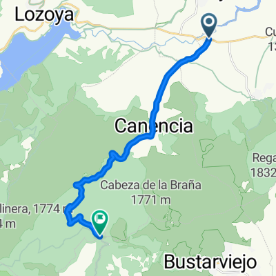
Overview
About this route
Ruta con 4 puertos montaña: canencia, morcuera, cotos y navacerrada
- -:--
- Duration
- 115.2 km
- Distance
- 1,831 m
- Ascent
- 1,806 m
- Descent
- ---
- Avg. speed
- ---
- Max. altitude
Route quality
Waytypes & surfaces along the route
Waytypes
Road
23 km
(20 %)
Track
5.8 km
(5 %)
Surfaces
Paved
50.7 km
(44 %)
Unpaved
1.2 km
(1 %)
Asphalt
33.4 km
(29 %)
Paved (undefined)
13.8 km
(12 %)
Continue with Bikemap
Use, edit, or download this cycling route
You would like to ride gargantilla de lozoya-navacerrada or customize it for your own trip? Here is what you can do with this Bikemap route:
Free features
- Save this route as favorite or in collections
- Copy & plan your own version of this route
- Split it into stages to create a multi-day tour
- Sync your route with Garmin or Wahoo
Premium features
Free trial for 3 days, or one-time payment. More about Bikemap Premium.
- Navigate this route on iOS & Android
- Export a GPX / KML file of this route
- Create your custom printout (try it for free)
- Download this route for offline navigation
Discover more Premium features.
Get Bikemap PremiumFrom our community
Other popular routes starting in Garganta de los Montes
 Desafio Ptos. Guadarrama - Tramo 3
- Distance
- 48.4 km
- Ascent
- 729 m
- Descent
- 856 m
- Location
- Garganta de los Montes, Madrid, Spain
 Garganta de los Montes
- Distance
- 14.8 km
- Ascent
- 461 m
- Descent
- 462 m
- Location
- Garganta de los Montes, Madrid, Spain
 Garganta-Somosierra
- Distance
- 78.3 km
- Ascent
- 929 m
- Descent
- 929 m
- Location
- Garganta de los Montes, Madrid, Spain
 CANENCIA, por Canencia
- Distance
- 13.9 km
- Ascent
- 530 m
- Descent
- 53 m
- Location
- Garganta de los Montes, Madrid, Spain
 garganta - cotos - navacerrada - soto - garganta
- Distance
- 111.3 km
- Ascent
- 1,531 m
- Descent
- 1,531 m
- Location
- Garganta de los Montes, Madrid, Spain
 canencia y bobeidlla
- Distance
- 65.6 km
- Ascent
- 942 m
- Descent
- 933 m
- Location
- Garganta de los Montes, Madrid, Spain
 lozoyuela-buitrago
- Distance
- 28.9 km
- Ascent
- 445 m
- Descent
- 448 m
- Location
- Garganta de los Montes, Madrid, Spain
 Garganta - La Acebeda
- Distance
- 63.5 km
- Ascent
- 1,209 m
- Descent
- 1,209 m
- Location
- Garganta de los Montes, Madrid, Spain
Open it in the app