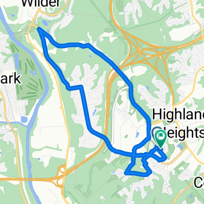
Overlook Circle 7, Wilder to Overlook Circle 7, Wilder
- 10.7 km
- 80 m
- 74 m
- Highland Heights, Kentucky, United States
Route by NKU
Quiet road
1.8 km17 %Road
1.7 km16 %Paved
1.3 km(12 %)Paved (undefined)
0.8 km7 %Asphalt
0.5 km5 %Undefined
9.4 km88 %Home
Free trial for 3 days, or one-time payment. More about Bikemap Premium.
Discover more Premium features.
Get Bikemap PremiumOpen it in the app