

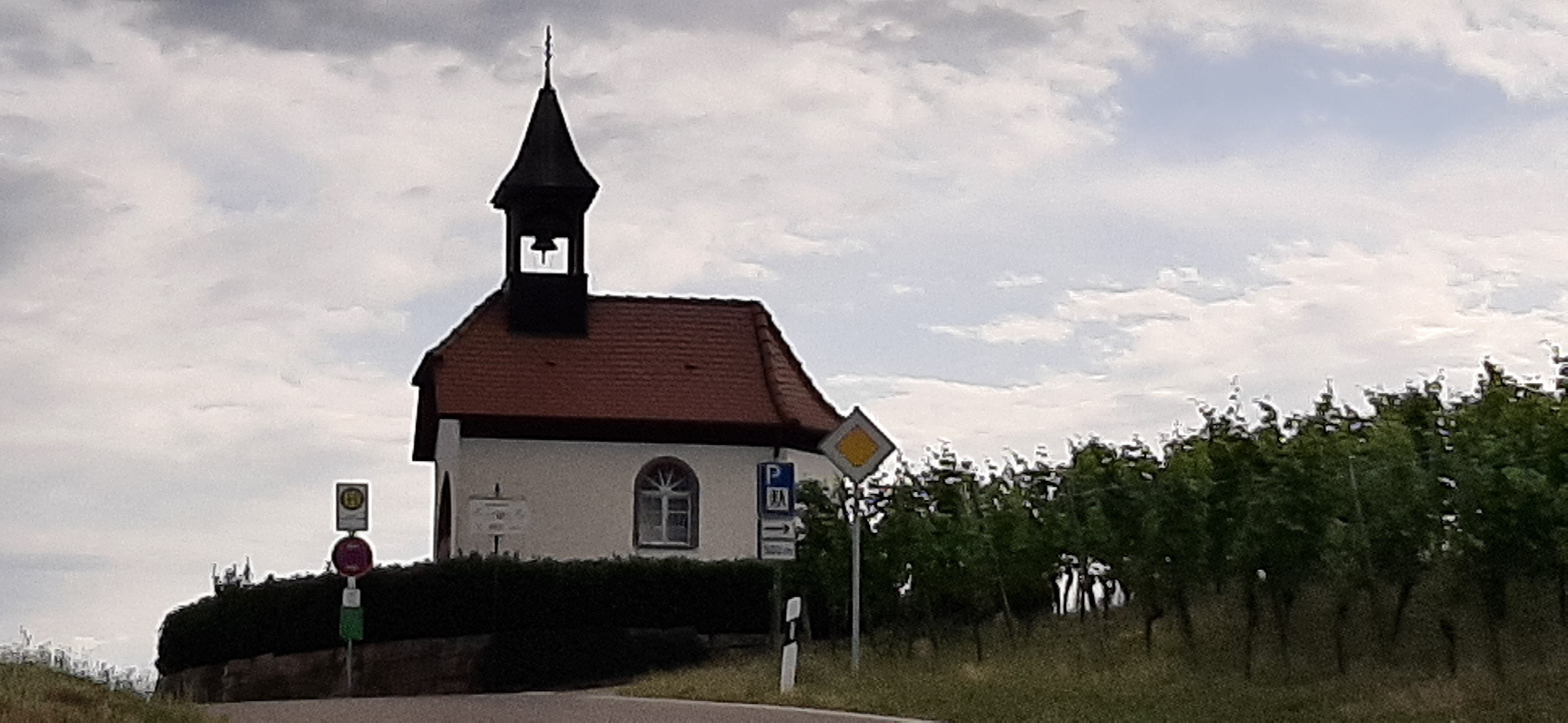
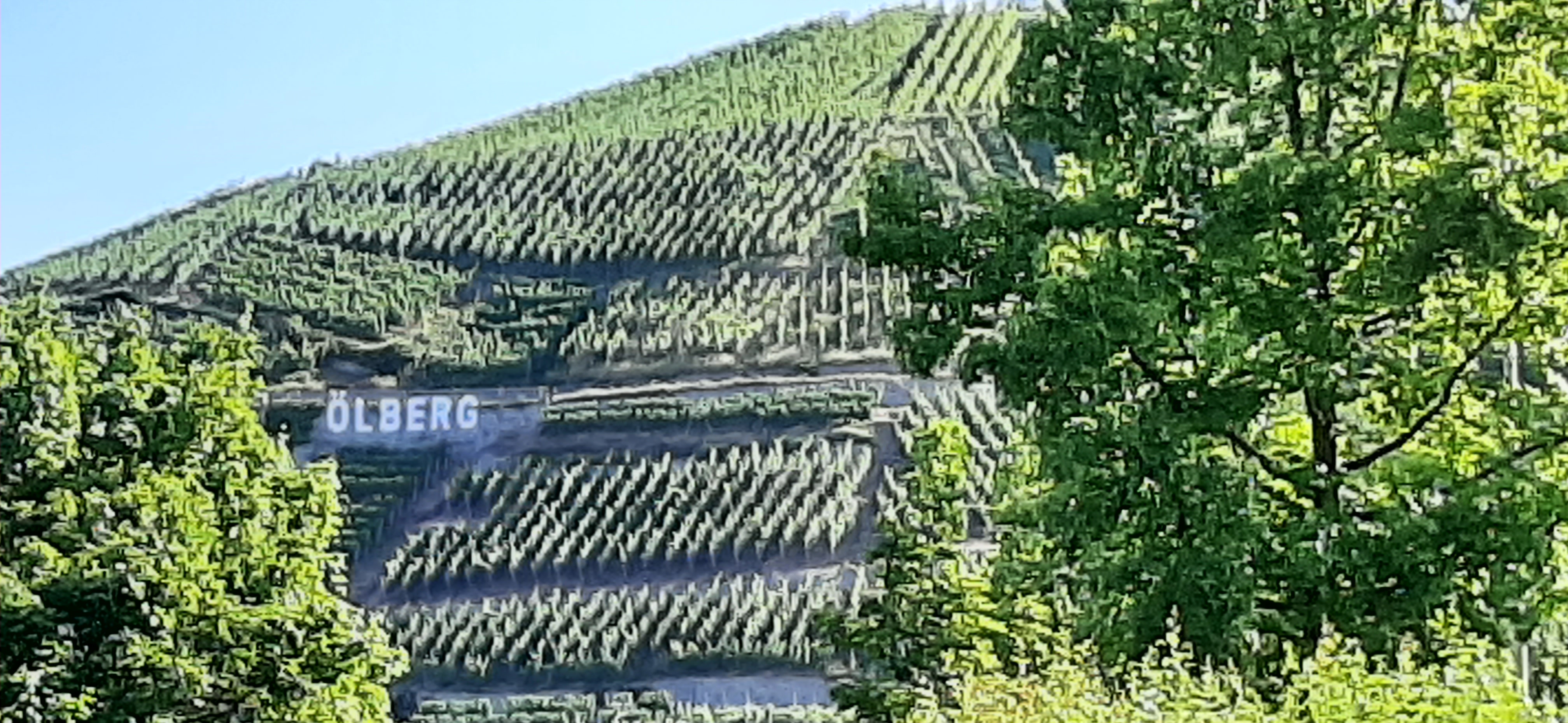
Mooskopftour
A cycling route starting in Durbach, Baden-Wurttemberg, Germany.
Overview
About this route
Staufenberg Castle, Durbach, Brandeckkopf, Brandeck Lindle, Mooskopf, Wolfenkopf, Bildeiche, Brandstetter Chapel
- -:--
- Duration
- 29.3 km
- Distance
- 867 m
- Ascent
- 866 m
- Descent
- ---
- Avg. speed
- ---
- Max. altitude

Route quality
Waytypes & surfaces along the route
Waytypes
Track
25.2 km
(86 %)
Path
1.5 km
(5 %)
Surfaces
Paved
1.8 km
(6 %)
Unpaved
26.1 km
(89 %)
Gravel
21.1 km
(72 %)
Unpaved (undefined)
2.9 km
(10 %)
Continue with Bikemap
Use, edit, or download this cycling route
You would like to ride Mooskopftour or customize it for your own trip? Here is what you can do with this Bikemap route:
Free features
- Save this route as favorite or in collections
- Copy & plan your own version of this route
- Sync your route with Garmin or Wahoo
Premium features
Free trial for 3 days, or one-time payment. More about Bikemap Premium.
- Navigate this route on iOS & Android
- Export a GPX / KML file of this route
- Create your custom printout (try it for free)
- Download this route for offline navigation
Discover more Premium features.
Get Bikemap PremiumFrom our community
Other popular routes starting in Durbach
 4-Tälertour Gruppe 2
- Distance
- 56 km
- Ascent
- 1,152 m
- Descent
- 1,152 m
- Location
- Durbach, Baden-Wurttemberg, Germany
 Genießerpfad - Premiumwanderweg Durbacher Weinpanorama
- Distance
- 16.1 km
- Ascent
- 504 m
- Descent
- 503 m
- Location
- Durbach, Baden-Wurttemberg, Germany
 Durbach / Weiler nach Moosenwaldkopf
- Distance
- 34.6 km
- Ascent
- 716 m
- Descent
- 843 m
- Location
- Durbach, Baden-Wurttemberg, Germany
 Durbacher Weitblick
- Distance
- 11.3 km
- Ascent
- 444 m
- Descent
- 443 m
- Location
- Durbach, Baden-Wurttemberg, Germany
 Mooskopftour
- Distance
- 29.3 km
- Ascent
- 867 m
- Descent
- 866 m
- Location
- Durbach, Baden-Wurttemberg, Germany
 Durbach 1 29.4 Stichstraßen und Steigungen
- Distance
- 29.4 km
- Ascent
- 803 m
- Descent
- 803 m
- Location
- Durbach, Baden-Wurttemberg, Germany
 Burgunderstraße nach Straße Ohne Straßennamen
- Distance
- 10.7 km
- Ascent
- 534 m
- Descent
- 370 m
- Location
- Durbach, Baden-Wurttemberg, Germany
 4-Täler
- Distance
- 56 km
- Ascent
- 1,141 m
- Descent
- 1,138 m
- Location
- Durbach, Baden-Wurttemberg, Germany
Open it in the app