
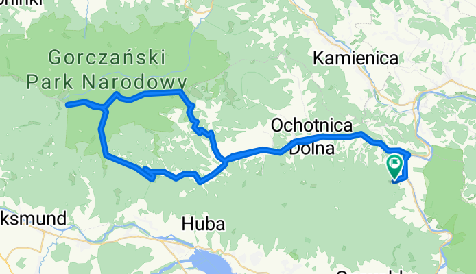
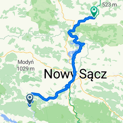
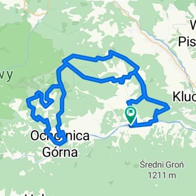
Rekiny meeting trasa 15.08
A cycling route starting in Ochotnica Dolna, Lesser Poland Voivodeship, Poland.
Overview
About this route
Class
- -:--
- Duration
- 59.4 km
- Distance
- 1,114 m
- Ascent
- 1,114 m
- Descent
- ---
- Avg. speed
- ---
- Max. altitude

Route quality
Waytypes & surfaces along the route
Waytypes
Road
29.7 km
(50 %)
Path
13.7 km
(23 %)
Surfaces
Paved
35 km
(59 %)
Unpaved
15.4 km
(26 %)
Asphalt
35 km
(59 %)
Ground
14.3 km
(24 %)
Continue with Bikemap
Use, edit, or download this cycling route
You would like to ride Rekiny meeting trasa 15.08 or customize it for your own trip? Here is what you can do with this Bikemap route:
Free features
- Save this route as favorite or in collections
- Copy & plan your own version of this route
- Sync your route with Garmin or Wahoo
Premium features
Free trial for 3 days, or one-time payment. More about Bikemap Premium.
- Navigate this route on iOS & Android
- Export a GPX / KML file of this route
- Create your custom printout (try it for free)
- Download this route for offline navigation
Discover more Premium features.
Get Bikemap PremiumFrom our community
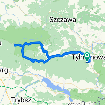
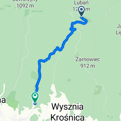
Other popular routes starting in Ochotnica Dolna
 burzowy weekend
- Distance
- 75.6 km
- Ascent
- 1,181 m
- Descent
- 1,181 m
- Location
- Ochotnica Dolna, Lesser Poland Voivodeship, Poland
 Baza Namiotowa na Lubaniu - Velo Dunajec
- Distance
- 31.9 km
- Ascent
- 188 m
- Descent
- 897 m
- Location
- Ochotnica Dolna, Lesser Poland Voivodeship, Poland
 Etap III Gorc 2022 HARD
- Distance
- 51.5 km
- Ascent
- 2,292 m
- Descent
- 2,297 m
- Location
- Ochotnica Dolna, Lesser Poland Voivodeship, Poland
 Tylmanova to Zakliczyn
- Distance
- 92.1 km
- Ascent
- 1,305 m
- Descent
- 1,485 m
- Location
- Ochotnica Dolna, Lesser Poland Voivodeship, Poland
 Rekiny meeting trasa 15.08
- Distance
- 59.4 km
- Ascent
- 1,114 m
- Descent
- 1,114 m
- Location
- Ochotnica Dolna, Lesser Poland Voivodeship, Poland
 OS1 Klu
- Distance
- 4.7 km
- Ascent
- 120 m
- Descent
- 690 m
- Location
- Ochotnica Dolna, Lesser Poland Voivodeship, Poland
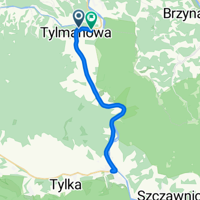 Protest rowerowy Tylmanowa
- Distance
- 22.4 km
- Ascent
- 188 m
- Descent
- 195 m
- Location
- Ochotnica Dolna, Lesser Poland Voivodeship, Poland
 Etap III Gorc MTB4Towers2021 Hard
- Distance
- 47.2 km
- Ascent
- 2,229 m
- Descent
- 2,234 m
- Location
- Ochotnica Dolna, Lesser Poland Voivodeship, Poland
Open it in the app