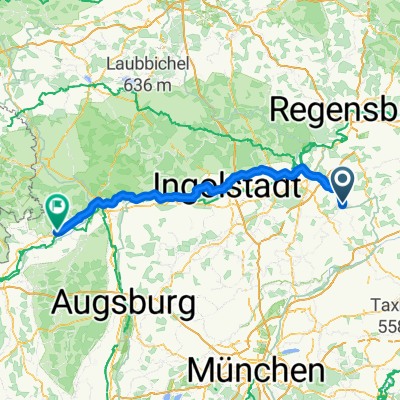
Von Oberhatzkofen nach Moosinning
A cycling route starting in Rottenburg an der Laaber, Bavaria, Germany.
Overview
About this route
This route is not the shortest between the two towns, but mainly runs on secondary roads and small streets with little traffic.
- -:--
- Duration
- 62.7 km
- Distance
- 396 m
- Ascent
- 378 m
- Descent
- ---
- Avg. speed
- 519 m
- Max. altitude
Route quality
Waytypes & surfaces along the route
Waytypes
Road
32 km
(51 %)
Quiet road
19.4 km
(31 %)
Surfaces
Paved
61.5 km
(98 %)
Asphalt
61.5 km
(98 %)
Undefined
1.3 km
(2 %)
Continue with Bikemap
Use, edit, or download this cycling route
You would like to ride Von Oberhatzkofen nach Moosinning or customize it for your own trip? Here is what you can do with this Bikemap route:
Free features
- Save this route as favorite or in collections
- Copy & plan your own version of this route
- Sync your route with Garmin or Wahoo
Premium features
Free trial for 3 days, or one-time payment. More about Bikemap Premium.
- Navigate this route on iOS & Android
- Export a GPX / KML file of this route
- Create your custom printout (try it for free)
- Download this route for offline navigation
Discover more Premium features.
Get Bikemap PremiumFrom our community
Other popular routes starting in Rottenburg an der Laaber
Berlin Vittorio day 7- Distance
- 114.6 km
- Ascent
- 249 m
- Descent
- 167 m
- Location
- Rottenburg an der Laaber, Bavaria, Germany
ROL - DEG- Distance
- 89.8 km
- Ascent
- 259 m
- Descent
- 380 m
- Location
- Rottenburg an der Laaber, Bavaria, Germany
Von Patt nach Neu nach Ergolsbach nach patt- Distance
- 46.8 km
- Ascent
- 359 m
- Descent
- 358 m
- Location
- Rottenburg an der Laaber, Bavaria, Germany
Von Oberhatzkofen nach Moosinning- Distance
- 62.7 km
- Ascent
- 396 m
- Descent
- 378 m
- Location
- Rottenburg an der Laaber, Bavaria, Germany
Landshuter Straße 38, Rottenburg an der Laaber nach Landshuter Straße 40, Rottenburg an der Laaber- Distance
- 21.8 km
- Ascent
- 259 m
- Descent
- 260 m
- Location
- Rottenburg an der Laaber, Bavaria, Germany
Rottenburg-Herrngiersdorf- Distance
- 38.4 km
- Ascent
- 266 m
- Descent
- 266 m
- Location
- Rottenburg an der Laaber, Bavaria, Germany
Ausfahrt vom 08.06.17, 21:26- Distance
- 18.5 km
- Ascent
- 184 m
- Descent
- 175 m
- Location
- Rottenburg an der Laaber, Bavaria, Germany
Siegenburg - Rottenburg - Bachl- Distance
- 63.5 km
- Ascent
- 289 m
- Descent
- 289 m
- Location
- Rottenburg an der Laaber, Bavaria, Germany
Open it in the app


