
Wyprawa nr 2
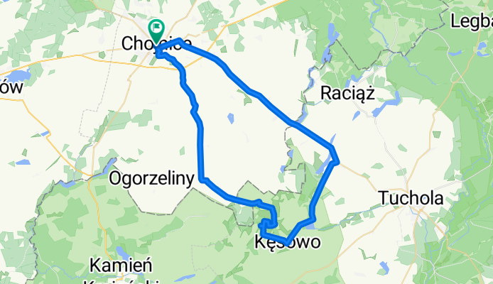
A cycling route starting in Chojnice, Pomeranian Voivodeship, Poland.
Overview
About this route
Wyprawa w sam raz na poczatek urlopu. Niestety dzien bardzo wietrzny, co utrudnialo jazde. Przy okazji udalo sie zwiedzic, a raczej odnalezc 2 z 6 bunkrow w poblizu Kesowa. Nie obylo sie bez jezdzenia po lakach i szukania po omacku :)
- -:--
- Duration
- 49.9 km
- Distance
- 163 m
- Ascent
- 164 m
- Descent
- ---
- Avg. speed
- ---
- Max. altitude
Route highlights
Points of interest along the route

Point of interest after 18.2 km
Bunkier Obrowo

Point of interest after 20.5 km
Bunkier Lisia góra
Continue with Bikemap
Use, edit, or download this cycling route
You would like to ride Wyprawa nr 2 or customize it for your own trip? Here is what you can do with this Bikemap route:
Free features
- Save this route as favorite or in collections
- Copy & plan your own version of this route
- Sync your route with Garmin or Wahoo
Premium features
Free trial for 3 days, or one-time payment. More about Bikemap Premium.
- Navigate this route on iOS & Android
- Export a GPX / KML file of this route
- Create your custom printout (try it for free)
- Download this route for offline navigation
Discover more Premium features.
Get Bikemap PremiumFrom our community
Other popular routes starting in Chojnice
 chojnice- człuchów
- Distance
- 68.4 km
- Ascent
- 181 m
- Descent
- 179 m
- Location
- Chojnice, Pomeranian Voivodeship, Poland
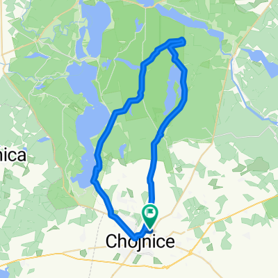
 Bory Tucholskie jez. Charzykowskie
- Distance
- 47.9 km
- Ascent
- 192 m
- Descent
- 191 m
- Location
- Chojnice, Pomeranian Voivodeship, Poland
 Ósemka Charzykowska
- Distance
- 49.6 km
- Ascent
- 251 m
- Descent
- 251 m
- Location
- Chojnice, Pomeranian Voivodeship, Poland
 Dookoła Charzykowskiego-Swornegacie-Charzykowy
- Distance
- 43.9 km
- Ascent
- 179 m
- Descent
- 181 m
- Location
- Chojnice, Pomeranian Voivodeship, Poland
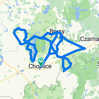 KASZUBSKA MARSZRUTA 2019 + Raciążski Młyn
- Distance
- 240.1 km
- Ascent
- 276 m
- Descent
- 276 m
- Location
- Chojnice, Pomeranian Voivodeship, Poland
 Struga 7 jezior 1
- Distance
- 38.5 km
- Ascent
- 135 m
- Descent
- 135 m
- Location
- Chojnice, Pomeranian Voivodeship, Poland
 Charzykowy-petla46
- Distance
- 46.2 km
- Ascent
- 190 m
- Descent
- 190 m
- Location
- Chojnice, Pomeranian Voivodeship, Poland
 Wyprawa nr 2
- Distance
- 49.9 km
- Ascent
- 163 m
- Descent
- 164 m
- Location
- Chojnice, Pomeranian Voivodeship, Poland
Open it in the app