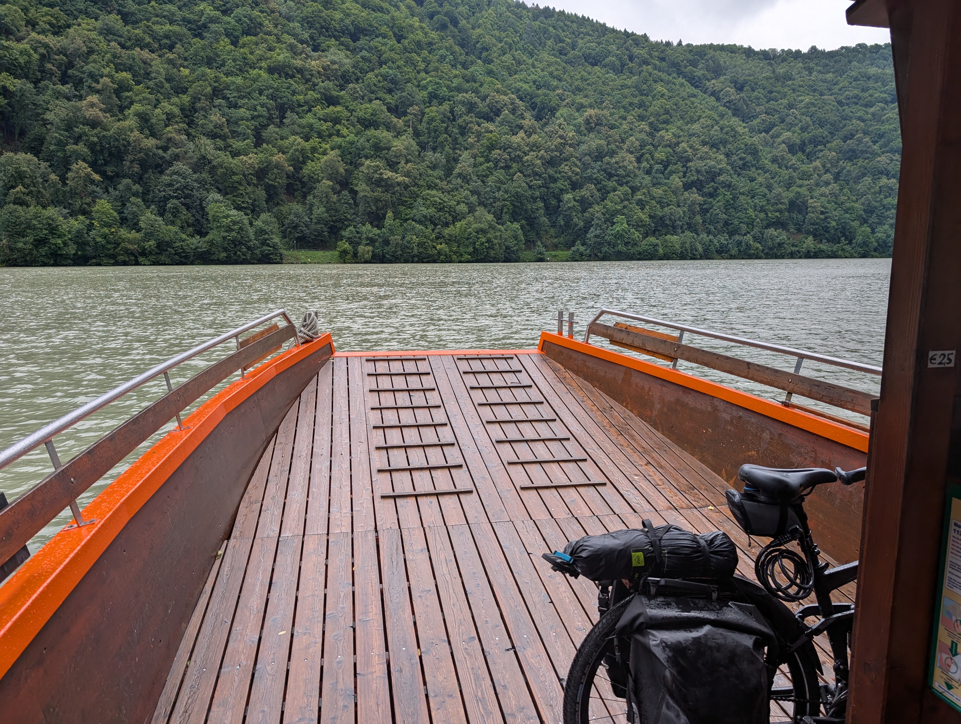
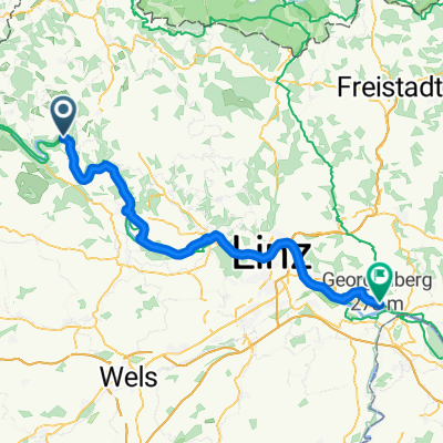
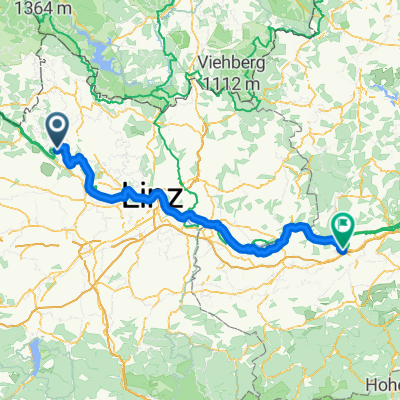
2_Schlögen-Linz
A cycling route starting in Atzesberg, Upper Austria, Austria.
Overview
About this route
- Tour von Schlögen über Aschach, Feldkirchen, Ottensheim nach Linz
- -:--
- Duration
- 57.2 km
- Distance
- 220 m
- Ascent
- 246 m
- Descent
- ---
- Avg. speed
- ---
- Avg. speed
Route quality
Waytypes & surfaces along the route
Waytypes
Quiet road
36.2 km
(63 %)
Cycleway
12.9 km
(23 %)
Surfaces
Paved
56.3 km
(98 %)
Unpaved
0.1 km
(<1 %)
Asphalt
55.5 km
(97 %)
Paving stones
0.6 km
(1 %)
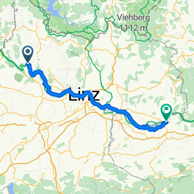
Continue with Bikemap
Use, edit, or download this cycling route
You would like to ride 2_Schlögen-Linz or customize it for your own trip? Here is what you can do with this Bikemap route:
Free features
- Save this route as favorite or in collections
- Copy & plan your own version of this route
- Sync your route with Garmin or Wahoo
Premium features
Free trial for 3 days, or one-time payment. More about Bikemap Premium.
- Navigate this route on iOS & Android
- Export a GPX / KML file of this route
- Create your custom printout (try it for free)
- Download this route for offline navigation
Discover more Premium features.
Get Bikemap PremiumFrom our community
Other popular routes starting in Atzesberg
- Donau_Etappe_02_Schlögen-Linz
- Distance
- 53.6 km
- Ascent
- 298 m
- Descent
- 306 m
- Location
- Atzesberg, Upper Austria, Austria
- Passau Wien - 2a tappa Schlogen Linz
- Distance
- 58 km
- Ascent
- 294 m
- Descent
- 316 m
- Location
- Atzesberg, Upper Austria, Austria
- Donaurunde Schlögen
- Distance
- 42.6 km
- Ascent
- 470 m
- Descent
- 469 m
- Location
- Atzesberg, Upper Austria, Austria
- Schlögen/St. Agatha - Linz
- Distance
- 57.4 km
- Ascent
- 308 m
- Descent
- 345 m
- Location
- Atzesberg, Upper Austria, Austria
- Girolibero: Passau Vienna bici e benessere
- Distance
- 506.5 km
- Ascent
- 4,949 m
- Descent
- 5,025 m
- Location
- Atzesberg, Upper Austria, Austria
- Donau_Etappe_02_Schlögen-Linz
- Distance
- 53.6 km
- Ascent
- 297 m
- Descent
- 305 m
- Location
- Atzesberg, Upper Austria, Austria
- Haslach Feldkirchen Badesee
- Distance
- 39.8 km
- Ascent
- 174 m
- Descent
- 410 m
- Location
- Atzesberg, Upper Austria, Austria
- Lug - Obermühl - Kirchberg - Bruckwirt
- Distance
- 23.9 km
- Ascent
- 676 m
- Descent
- 730 m
- Location
- Atzesberg, Upper Austria, Austria
Open it in the app