
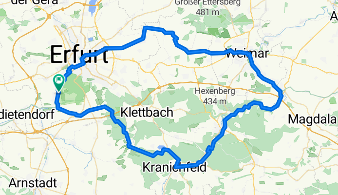
EF_WE_EF
A cycling route starting in Ingersleben, Thuringia, Germany.
Overview
About this route
mit Emma
(cloned from route 3229483)
- -:--
- Duration
- 86.7 km
- Distance
- 408 m
- Ascent
- 392 m
- Descent
- ---
- Avg. speed
- ---
- Max. altitude

Route quality
Waytypes & surfaces along the route
Waytypes
Track
21.8 km
(25 %)
Quiet road
19 km
(22 %)
Surfaces
Paved
57.9 km
(67 %)
Unpaved
18.1 km
(21 %)
Asphalt
52.1 km
(60 %)
Ground
8.3 km
(10 %)
Continue with Bikemap
Use, edit, or download this cycling route
You would like to ride EF_WE_EF or customize it for your own trip? Here is what you can do with this Bikemap route:
Free features
- Save this route as favorite or in collections
- Copy & plan your own version of this route
- Split it into stages to create a multi-day tour
- Sync your route with Garmin or Wahoo
Premium features
Free trial for 3 days, or one-time payment. More about Bikemap Premium.
- Navigate this route on iOS & Android
- Export a GPX / KML file of this route
- Create your custom printout (try it for free)
- Download this route for offline navigation
Discover more Premium features.
Get Bikemap PremiumFrom our community
Other popular routes starting in Ingersleben
 Molsdorf - Bad Sulza (Saale) über München
- Distance
- 81.5 km
- Ascent
- 688 m
- Descent
- 751 m
- Location
- Ingersleben, Thuringia, Germany
 Arbeitsweg
- Distance
- 12.2 km
- Ascent
- 22 m
- Descent
- 24 m
- Location
- Ingersleben, Thuringia, Germany
 Bischleben_Waltersleben_Meckfeld
- Distance
- 21.3 km
- Ascent
- 332 m
- Descent
- 105 m
- Location
- Ingersleben, Thuringia, Germany
 Feierabendrundfahrt
- Distance
- 14.9 km
- Ascent
- 80 m
- Descent
- 74 m
- Location
- Ingersleben, Thuringia, Germany
 7 HeimatTour GPX3_Garmin
- Distance
- 81.3 km
- Ascent
- 471 m
- Descent
- 502 m
- Location
- Ingersleben, Thuringia, Germany
 2018-09-30: Um die Fahner Höhe
- Distance
- 67 km
- Ascent
- 390 m
- Descent
- 363 m
- Location
- Ingersleben, Thuringia, Germany
 170402_Bischleben - Kranichfeld - Bad Berka - Weimar - Erfurt
- Distance
- 73.7 km
- Ascent
- 440 m
- Descent
- 465 m
- Location
- Ingersleben, Thuringia, Germany
 Schmira-Weser
- Distance
- 166.7 km
- Ascent
- 349 m
- Descent
- 486 m
- Location
- Ingersleben, Thuringia, Germany
Open it in the app