Hundsmarter
- 14.9 km
- 1,199 m
- 1,195 m
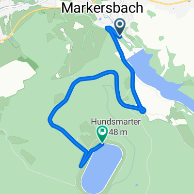
- Markersbach, Saxony, Germany
A cycling route starting in Markersbach, Saxony, Germany.
Overview
From the upper basin of the Markersbach pumped storage power plant via predominantly paved forest paths to Fichtelberg and back.
Route quality
Track
25.9 km
79 %
Road
3.6 km
11 %
Paved
24.3 km
(74 %)
Unpaved
8.2 km
(25 %)
Asphalt
21.6 km
66 %
Gravel
4.6 km
14 %
Continue with Bikemap
You would like to ride Pumpspeicherkraftwerk Markersbach zum Fichtelberg und zurück or customize it for your own trip? Here is what you can do with this Bikemap route:
Free trial for 3 days, or one-time payment. More about Bikemap Premium.
Discover more Premium features.
Get Bikemap PremiumFrom our community
Open it in the app