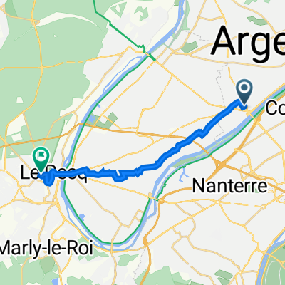
yvelines
A cycling route starting in Bezons, ÃŽle-de-France Region, France.
Overview
About this route
bezons, poissy, orgeval, arnouville les mantes, behoust, chavenay, bezons
- -:--
- Duration
- 101 km
- Distance
- 592 m
- Ascent
- 590 m
- Descent
- ---
- Avg. speed
- ---
- Max. altitude
Route quality
Waytypes & surfaces along the route
Waytypes
Quiet road
42.4 km
(42 %)
Busy road
27.1 km
(27 %)
Surfaces
Paved
51 km
(50 %)
Unpaved
1.7 km
(2 %)
Asphalt
51 km
(50 %)
Gravel
1.4 km
(1 %)
Continue with Bikemap
Use, edit, or download this cycling route
You would like to ride yvelines or customize it for your own trip? Here is what you can do with this Bikemap route:
Free features
- Save this route as favorite or in collections
- Copy & plan your own version of this route
- Split it into stages to create a multi-day tour
- Sync your route with Garmin or Wahoo
Premium features
Free trial for 3 days, or one-time payment. More about Bikemap Premium.
- Navigate this route on iOS & Android
- Export a GPX / KML file of this route
- Create your custom printout (try it for free)
- Download this route for offline navigation
Discover more Premium features.
Get Bikemap PremiumFrom our community
Other popular routes starting in Bezons
- bezons / lelin
- Distance
- 725.3 km
- Ascent
- 985 m
- Descent
- 884 m
- Location
- Bezons, ÃŽle-de-France Region, France
- Courbevoie Tour de Seine Bezons
- Distance
- 32.1 km
- Ascent
- 87 m
- Descent
- 65 m
- Location
- Bezons, ÃŽle-de-France Region, France
- Route to Rambouillet
- Distance
- 57.2 km
- Ascent
- 391 m
- Descent
- 255 m
- Location
- Bezons, ÃŽle-de-France Region, France
- Bezons / Malaucène
- Distance
- 776.8 km
- Ascent
- 4,524 m
- Descent
- 4,217 m
- Location
- Bezons, ÃŽle-de-France Region, France
- bezons / le treport / etretat
- Distance
- 523.9 km
- Ascent
- 1,131 m
- Descent
- 1,131 m
- Location
- Bezons, ÃŽle-de-France Region, France
- Le petit tour du dimanche
- Distance
- 49.1 km
- Ascent
- 366 m
- Descent
- 366 m
- Location
- Bezons, ÃŽle-de-France Region, France
- Petite mise en forme touristique CLONED FROM ROUTE 393137
- Distance
- 56.6 km
- Ascent
- 400 m
- Descent
- 400 m
- Location
- Bezons, ÃŽle-de-France Region, France
- yvelines
- Distance
- 101 km
- Ascent
- 592 m
- Descent
- 590 m
- Location
- Bezons, ÃŽle-de-France Region, France
Open it in the app