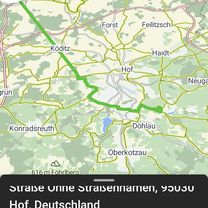
Tauperlitz-Asch-Eger-Selb -Tauperlitz

A cycling route starting in 
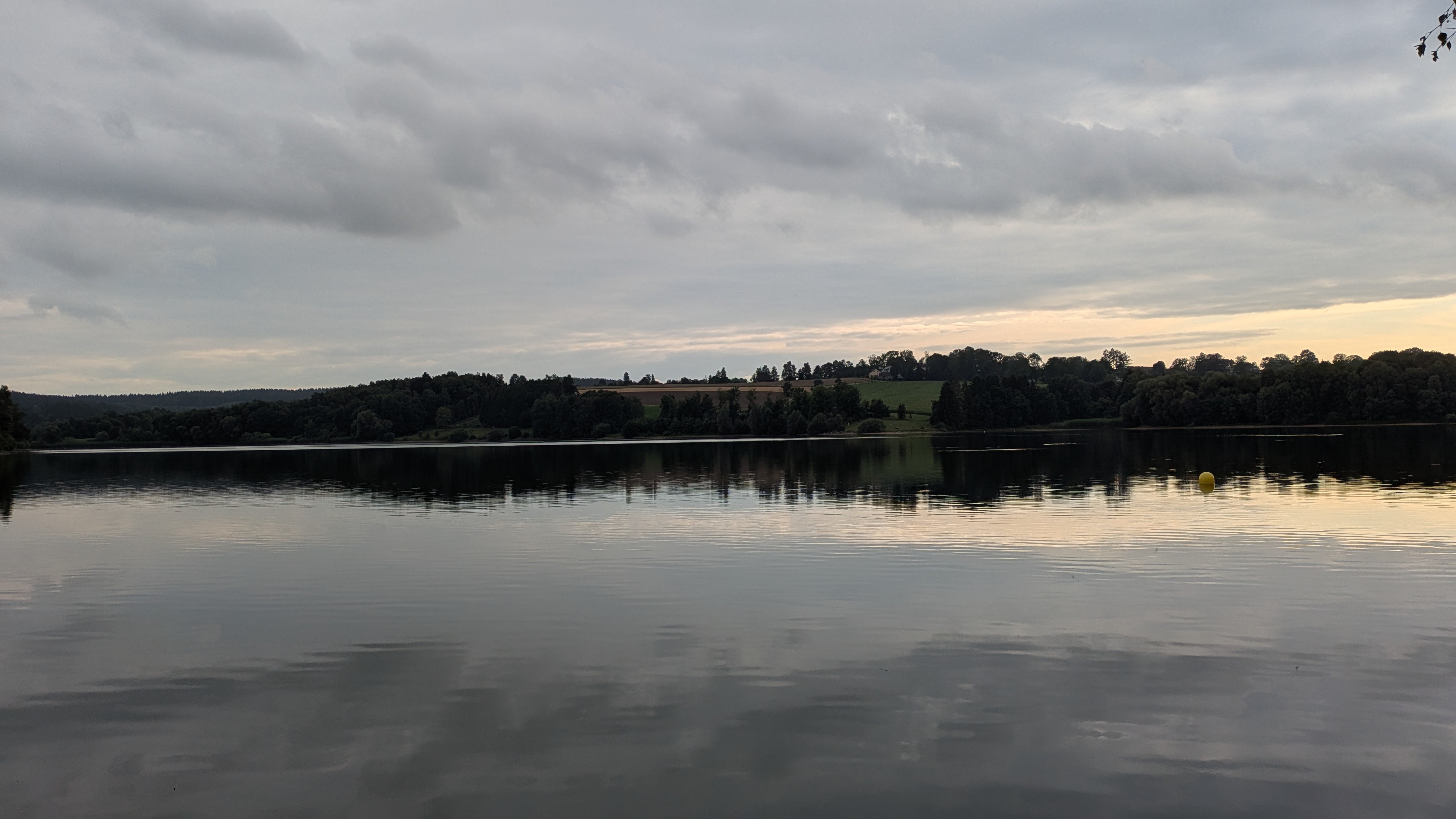
Döhlau, Bavaria, Germany.
OverviewAbout this route

The best part: from Nebesa (Km28) to Hürka (Km44) it's a steady descent, 215 meters of elevation lost over 16 km.

Translated, show original (German)
-:--
Duration
100.3 km
Distance
714 m
Ascent
716 m
Descent
---
Avg. speed
---
Max. altitude
Graveur Graveurcreated this 16 years ago
Continue with BikemapUse, edit, or download this cycling route
You would like to ride Tauperlitz-Asch-Eger-Selb -Tauperlitz or customize it for your own trip? Here is what you can do with this Bikemap route:
Free features
Premium features

Free trial for 3 days, or one-time payment. More about Bikemap Premium.

  • Navigate this route on iOS & Android
  • Export a GPX / KML file of this route
  • Create your custom printout (try it for free)
  • Download this route for offline navigation

Discover more Premium features.

Get Bikemap Premium
From our communityOther popular routes starting in Döhlau

Open it in the app