

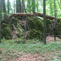
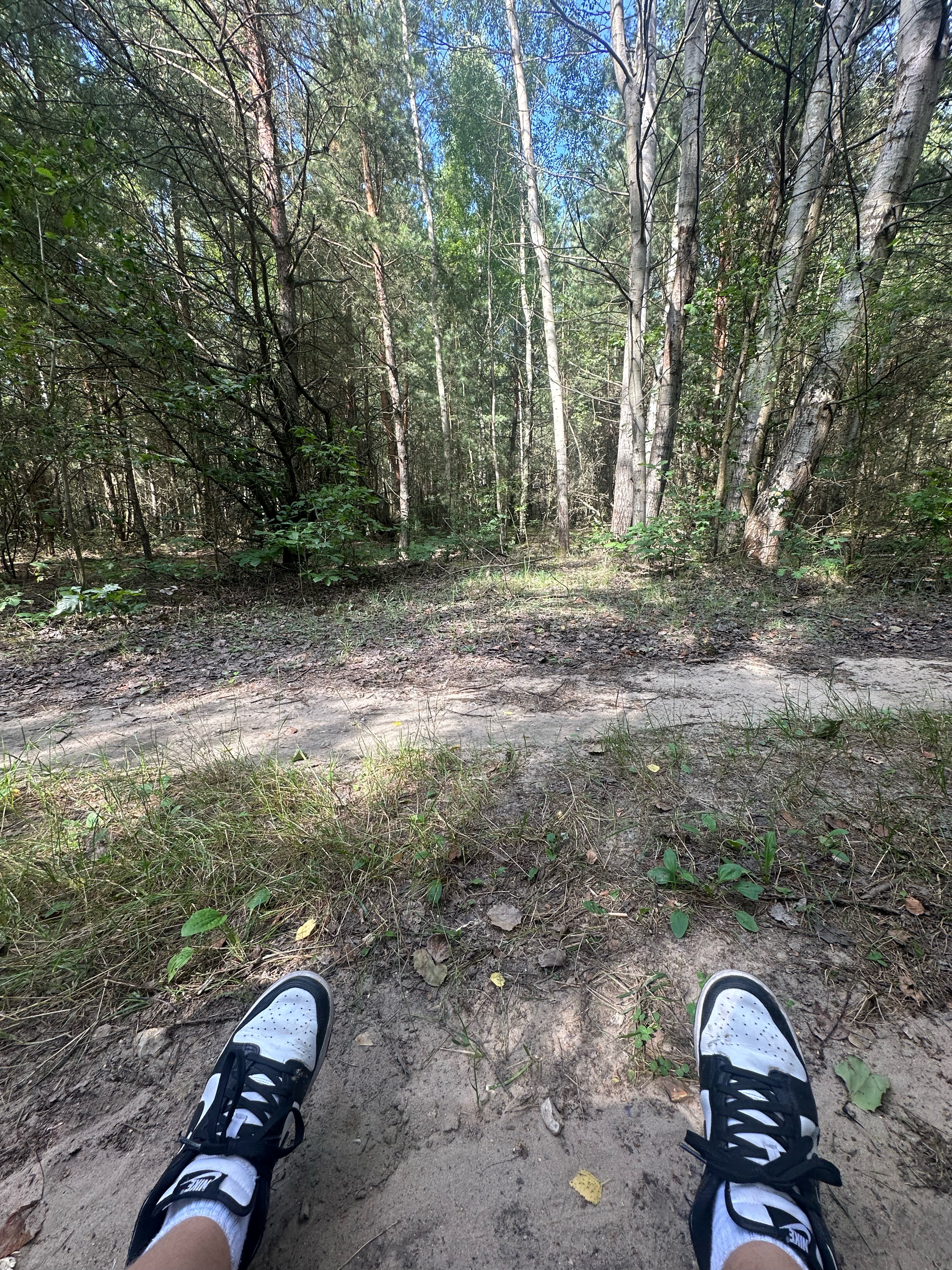
Szlak Orlich Gniazd
A cycling route starting in Częstochowa, Silesian Voivodeship, Poland.
Overview
About this route
Eagle's Nest Trail
- -:--
- Duration
- 184.3 km
- Distance
- 769 m
- Ascent
- 812 m
- Descent
- ---
- Avg. speed
- ---
- Max. altitude

Route quality
Waytypes & surfaces along the route
Waytypes
Track
57.1 km
(31 %)
Road
55.3 km
(30 %)
Surfaces
Paved
114.3 km
(62 %)
Unpaved
47.9 km
(26 %)
Asphalt
112.4 km
(61 %)
Ground
24 km
(13 %)
Continue with Bikemap
Use, edit, or download this cycling route
You would like to ride Szlak Orlich Gniazd or customize it for your own trip? Here is what you can do with this Bikemap route:
Free features
- Save this route as favorite or in collections
- Copy & plan your own version of this route
- Split it into stages to create a multi-day tour
- Sync your route with Garmin or Wahoo
Premium features
Free trial for 3 days, or one-time payment. More about Bikemap Premium.
- Navigate this route on iOS & Android
- Export a GPX / KML file of this route
- Create your custom printout (try it for free)
- Download this route for offline navigation
Discover more Premium features.
Get Bikemap PremiumFrom our community
Other popular routes starting in Częstochowa
 Częstochowa - Olsztyn - Słowik - Częstochowa
- Distance
- 50.4 km
- Ascent
- 176 m
- Descent
- 176 m
- Location
- Częstochowa, Silesian Voivodeship, Poland
 Murów,Srocko,Kusięta,Olsztyn,Częstochowa
- Distance
- 39.7 km
- Ascent
- 216 m
- Descent
- 209 m
- Location
- Częstochowa, Silesian Voivodeship, Poland
 przez jurę PN-PD
- Distance
- 171.7 km
- Ascent
- 643 m
- Descent
- 678 m
- Location
- Częstochowa, Silesian Voivodeship, Poland
 CZWA-Kraków
- Distance
- 160.8 km
- Ascent
- 770 m
- Descent
- 808 m
- Location
- Częstochowa, Silesian Voivodeship, Poland
 cały czas prosto
- Distance
- 11.9 km
- Ascent
- 90 m
- Descent
- 89 m
- Location
- Częstochowa, Silesian Voivodeship, Poland
 Mirów
Mirów- Distance
- 39.4 km
- Ascent
- 106 m
- Descent
- 103 m
- Location
- Częstochowa, Silesian Voivodeship, Poland
 Jurajski Szlak Rowerowy Orlich Gniazd
- Distance
- 177.7 km
- Ascent
- 766 m
- Descent
- 798 m
- Location
- Częstochowa, Silesian Voivodeship, Poland
 olsztyn złoty potok, mokrzesz, mstów
- Distance
- 79 km
- Ascent
- 348 m
- Descent
- 347 m
- Location
- Częstochowa, Silesian Voivodeship, Poland
Open it in the app