

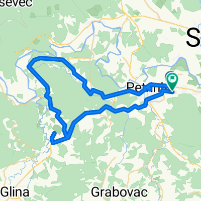
Tour the Banija - prvi dio
A cycling route starting in Petrinja, Sisak-Moslavina County, Croatia.
Overview
About this route
Tour the Banija
- -:--
- Duration
- 90.4 km
- Distance
- 980 m
- Ascent
- 993 m
- Descent
- ---
- Avg. speed
- ---
- Max. altitude

Route quality
Waytypes & surfaces along the route
Waytypes
Track
29.8 km
(33 %)
Quiet road
13.6 km
(15 %)
Surfaces
Paved
28.9 km
(32 %)
Unpaved
17.2 km
(19 %)
Asphalt
28.9 km
(32 %)
Gravel
12.7 km
(14 %)
Continue with Bikemap
Use, edit, or download this cycling route
You would like to ride Tour the Banija - prvi dio or customize it for your own trip? Here is what you can do with this Bikemap route:
Free features
- Save this route as favorite or in collections
- Copy & plan your own version of this route
- Split it into stages to create a multi-day tour
- Sync your route with Garmin or Wahoo
Premium features
Free trial for 3 days, or one-time payment. More about Bikemap Premium.
- Navigate this route on iOS & Android
- Export a GPX / KML file of this route
- Create your custom printout (try it for free)
- Download this route for offline navigation
Discover more Premium features.
Get Bikemap PremiumFrom our community
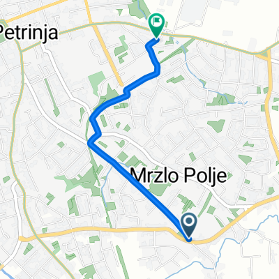
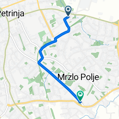
Other popular routes starting in Petrinja
 Šetalište Josipa Jurja Strossmayera 5, Petrinja to Matije Mesića 7–20, Petrinja
- Distance
- 11.8 km
- Ascent
- 250 m
- Descent
- 256 m
- Location
- Petrinja, Sisak-Moslavina County, Croatia
 Cvjetna ulica 15P to Zrinski Brđani
- Distance
- 49 km
- Ascent
- 1,192 m
- Descent
- 980 m
- Location
- Petrinja, Sisak-Moslavina County, Croatia
 Cvjetna ulica to Cvjetna ulica
- Distance
- 70.9 km
- Ascent
- 795 m
- Descent
- 794 m
- Location
- Petrinja, Sisak-Moslavina County, Croatia
 Ulica Milana Nemičića Lijevi Odvojak I to Gavrilovićev trg
- Distance
- 2.4 km
- Ascent
- 3 m
- Descent
- 64 m
- Location
- Petrinja, Sisak-Moslavina County, Croatia
 Gavrilovićev trg to Ulica Milana Nemičića Lijevi Odvojak I
- Distance
- 2.3 km
- Ascent
- 7 m
- Descent
- 55 m
- Location
- Petrinja, Sisak-Moslavina County, Croatia
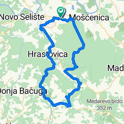
 Banijske zabiti
- Distance
- 43.6 km
- Ascent
- 485 m
- Descent
- 485 m
- Location
- Petrinja, Sisak-Moslavina County, Croatia
 Cvjetna ulica to Vidikovac ulica
- Distance
- 38 km
- Ascent
- 471 m
- Descent
- 463 m
- Location
- Petrinja, Sisak-Moslavina County, Croatia
 Tour the Banija - vol2
- Distance
- 140.9 km
- Ascent
- 1,044 m
- Descent
- 1,045 m
- Location
- Petrinja, Sisak-Moslavina County, Croatia
Open it in the app