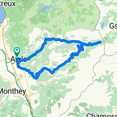
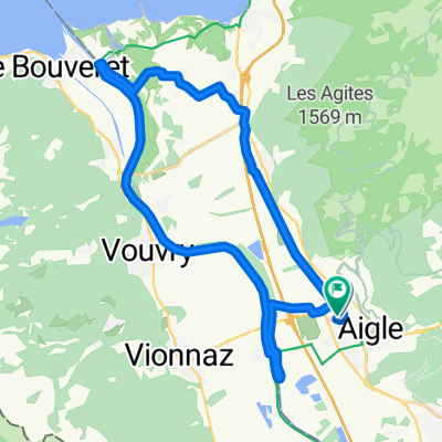
Aigle > Col de la Croix > Montreux
A cycling route starting in Aigle, Canton of Vaud, Switzerland.
Overview
About this route
- -:--
- Duration
- 65.6 km
- Distance
- 1,655 m
- Ascent
- 1,678 m
- Descent
- ---
- Avg. speed
- 1,788 m
- Avg. speed
Route quality
Waytypes & surfaces along the route
Waytypes
Busy road
38.4 km
(58 %)
Road
13.7 km
(21 %)
Surfaces
Paved
48 km
(73 %)
Unpaved
1.1 km
(2 %)
Asphalt
47.8 km
(73 %)
Gravel
1 km
(1 %)
Continue with Bikemap
Use, edit, or download this cycling route
You would like to ride Aigle > Col de la Croix > Montreux or customize it for your own trip? Here is what you can do with this Bikemap route:
Free features
- Save this route as favorite or in collections
- Copy & plan your own version of this route
- Sync your route with Garmin or Wahoo
Premium features
Free trial for 3 days, or one-time payment. More about Bikemap Premium.
- Navigate this route on iOS & Android
- Export a GPX / KML file of this route
- Create your custom printout (try it for free)
- Download this route for offline navigation
Discover more Premium features.
Get Bikemap PremiumFrom our community
Other popular routes starting in Aigle
- Etapa 078B (Aigle - Divonne les Bains)
- Distance
- 117.3 km
- Ascent
- 1,328 m
- Descent
- 1,164 m
- Location
- Aigle, Canton of Vaud, Switzerland
- Complete Alpine Tour
- Distance
- 506.5 km
- Ascent
- 5,081 m
- Descent
- 5,093 m
- Location
- Aigle, Canton of Vaud, Switzerland
- Aigle 1/7
- Distance
- 169.5 km
- Ascent
- 2,802 m
- Descent
- 2,015 m
- Location
- Aigle, Canton of Vaud, Switzerland
- Aigle-Mosses-Pillon-Croix-Aigle
- Distance
- 105.4 km
- Ascent
- 2,835 m
- Descent
- 2,684 m
- Location
- Aigle, Canton of Vaud, Switzerland
- Stage 1, Aigle - Meiringen
- Distance
- 151.4 km
- Ascent
- 1,498 m
- Descent
- 1,326 m
- Location
- Aigle, Canton of Vaud, Switzerland
- 2014-T12-Aigle-Moudon
- Distance
- 51.8 km
- Ascent
- 668 m
- Descent
- 552 m
- Location
- Aigle, Canton of Vaud, Switzerland
- Rundfahrt mit Aussicht
- Distance
- 71.3 km
- Ascent
- 1,942 m
- Descent
- 1,943 m
- Location
- Aigle, Canton of Vaud, Switzerland
- Aigle > Col de la Croix > Montreux
- Distance
- 65.6 km
- Ascent
- 1,655 m
- Descent
- 1,678 m
- Location
- Aigle, Canton of Vaud, Switzerland
Open it in the app