

Poortugaal - St Hubert
A cycling route starting in Rhoon, South Holland, The Netherlands.
Overview
About this route
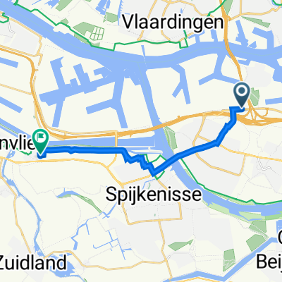
Poortugaal naar Sint Hubert (130 km)
- -:--
- Duration
- 132.1 km
- Distance
- 47 m
- Ascent
- 34 m
- Descent
- ---
- Avg. speed
- ---
- Max. altitude
Route quality
Waytypes & surfaces along the route
Waytypes
Cycleway
75.3 km
(57 %)
Quiet road
33 km
(25 %)
Surfaces
Paved
89.8 km
(68 %)
Unpaved
5.3 km
(4 %)
Asphalt
87.2 km
(66 %)
Concrete
2.6 km
(2 %)
Continue with Bikemap
Use, edit, or download this cycling route
You would like to ride Poortugaal - St Hubert or customize it for your own trip? Here is what you can do with this Bikemap route:
Free features
- Save this route as favorite or in collections
- Copy & plan your own version of this route
- Split it into stages to create a multi-day tour
- Sync your route with Garmin or Wahoo
Premium features
Free trial for 3 days, or one-time payment. More about Bikemap Premium.
- Navigate this route on iOS & Android
- Export a GPX / KML file of this route
- Create your custom printout (try it for free)
- Download this route for offline navigation
Discover more Premium features.
Get Bikemap PremiumFrom our community
Other popular routes starting in Rhoon
 2017 06 27 Molenaar Portugaal en Oud Beijerland
- Distance
- 46.3 km
- Ascent
- 16 m
- Descent
- 17 m
- Location
- Rhoon, South Holland, The Netherlands
 Thuis - Bergen op Zoom
- Distance
- 62.7 km
- Ascent
- 42 m
- Descent
- 37 m
- Location
- Rhoon, South Holland, The Netherlands
 Slinge - Vuilendam Rondje
- Distance
- 66.6 km
- Ascent
- 6 m
- Descent
- 6 m
- Location
- Rhoon, South Holland, The Netherlands
 Vierkantje-ZH116
- Distance
- 115.9 km
- Ascent
- 55 m
- Descent
- 55 m
- Location
- Rhoon, South Holland, The Netherlands
 De Butaanweg 233, Vondelingenplaat à J. van Gaesbeeklaan 12, Geervliet
- Distance
- 10.2 km
- Ascent
- 11 m
- Descent
- 17 m
- Location
- Rhoon, South Holland, The Netherlands
 Poortugaal - St Hubert
- Distance
- 132.1 km
- Ascent
- 47 m
- Descent
- 34 m
- Location
- Rhoon, South Holland, The Netherlands
 Tour de France 2010 Etape 2
- Distance
- 224.1 km
- Ascent
- 101 m
- Descent
- 77 m
- Location
- Rhoon, South Holland, The Netherlands
 Rotterdam Harbour border
- Distance
- 67.6 km
- Ascent
- 140 m
- Descent
- 137 m
- Location
- Rhoon, South Holland, The Netherlands
Open it in the app