09-07-2013_Day04
A cycling route starting in Kakamigahara, Gifu, Japan.
Overview
About this route
09-07-2013_Day04
各務原,歧阜 松本,長野- -:--
- Duration
- 204.1 km
- Distance
- 2,156 m
- Ascent
- 1,614 m
- Descent
- ---
- Avg. speed
- ---
- Avg. speed
Continue with Bikemap
Use, edit, or download this cycling route
You would like to ride 09-07-2013_Day04 or customize it for your own trip? Here is what you can do with this Bikemap route:
Free features
- Save this route as favorite or in collections
- Copy & plan your own version of this route
- Sync your route with Garmin or Wahoo
Premium features
Free trial for 3 days, or one-time payment. More about Bikemap Premium.
- Navigate this route on iOS & Android
- Export a GPX / KML file of this route
- Create your custom printout (try it for free)
- Download this route for offline navigation
Discover more Premium features.
Get Bikemap PremiumFrom our community
Other popular routes starting in Kakamigahara
- 小屋名2026, 関市 to 小屋名2026, 関市
- Distance
- 27 km
- Ascent
- 162 m
- Descent
- 160 m
- Location
- Kakamigahara, Gifu, Japan
- 2-chōme, Kakamigahara to 2-chōme, Gifu
- Distance
- 10.4 km
- Ascent
- 125 m
- Descent
- 125 m
- Location
- Kakamigahara, Gifu, Japan
- 下切町43-3, 各務原市 to 江頭町608-2, 近江八幡市
- Distance
- 106.9 km
- Ascent
- 1,064 m
- Descent
- 1,008 m
- Location
- Kakamigahara, Gifu, Japan
- Commute
- Distance
- 7.7 km
- Ascent
- 27 m
- Descent
- 82 m
- Location
- Kakamigahara, Gifu, Japan
- 229-2, Ozanocho 1-Chōme, Kakamigahara to Kawashimamatsukuramachi, Kakamigahara
- Distance
- 4.3 km
- Ascent
- 20 m
- Descent
- 18 m
- Location
- Kakamigahara, Gifu, Japan
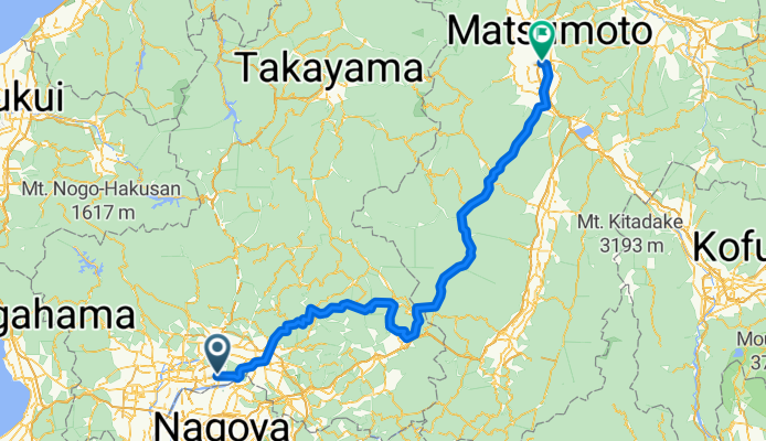
- 37, Morihigashi, Gifu to 67-2, Yanaizuchomaruno 1-Chōme, Gifu
- Distance
- 21.4 km
- Ascent
- 71 m
- Descent
- 100 m
- Location
- Kakamigahara, Gifu, Japan
- 09-07-2013_Day04
- Distance
- 204.1 km
- Ascent
- 2,156 m
- Descent
- 1,614 m
- Location
- Kakamigahara, Gifu, Japan
- Recovered Route
- Distance
- 13.7 km
- Ascent
- 23 m
- Descent
- 53 m
- Location
- Kakamigahara, Gifu, Japan
Open it in the app