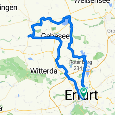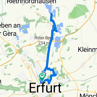
L1055 nach L1055
- 14.2 km
- 92 m
- 144 m
- Erfurt, Thuringia, Germany
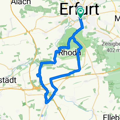
A cycling route starting in Erfurt, Thuringia, Germany.
Overview
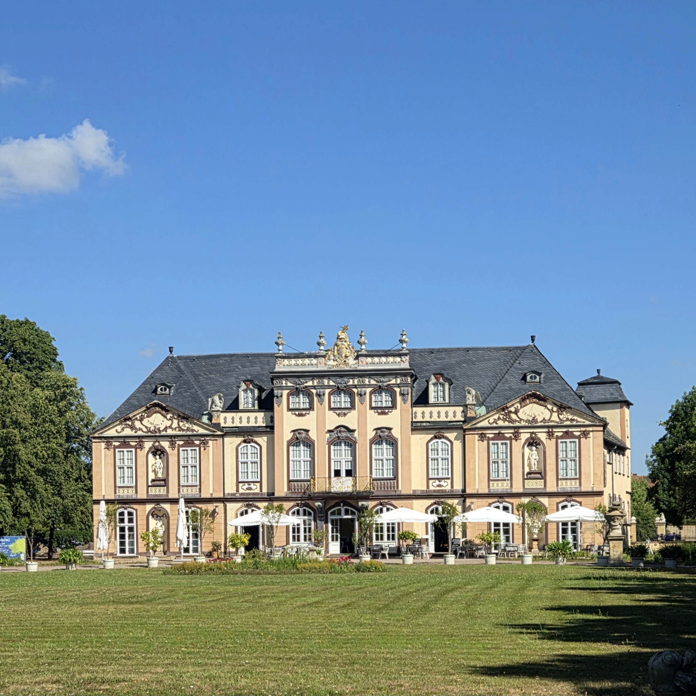
Mit dem Rad zur Stiefelburg
Erfurt - Sohnstedt
Foto: Rast am Weier
Stiefelburg
Klettbach - Erfurt
created this 10 years ago
Route quality
Track
10 km
(27 %)
Road
5.5 km
(15 %)
Paved
26.2 km
(71 %)
Unpaved
7 km
(19 %)
Asphalt
25.8 km
(70 %)
Gravel
4.4 km
(12 %)
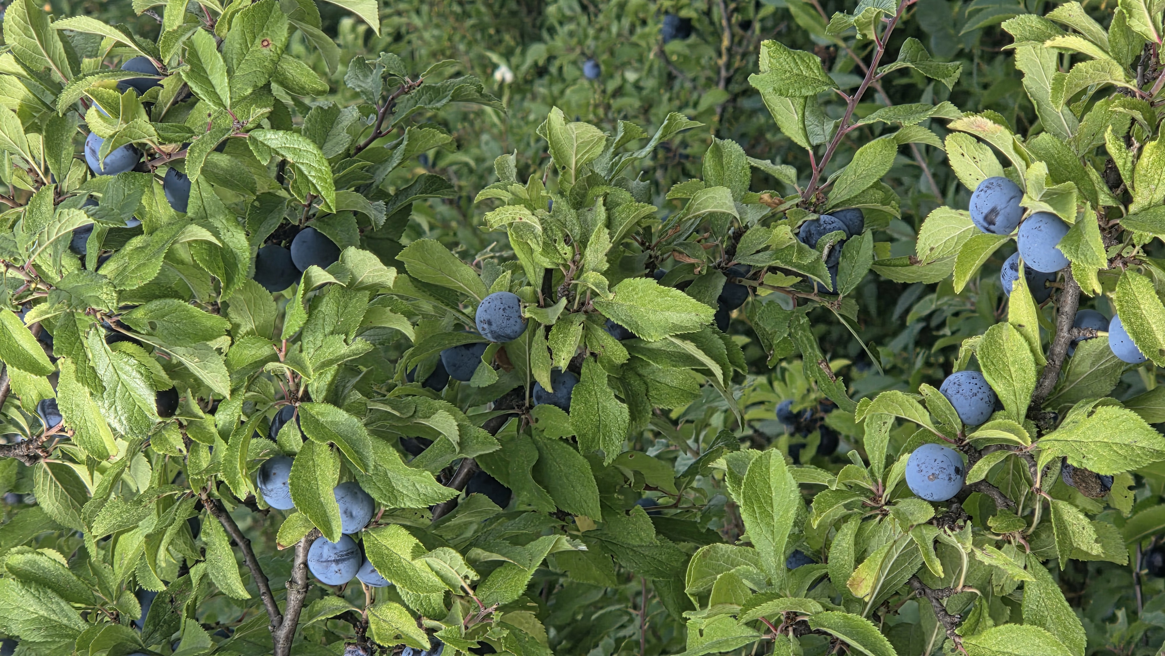
Route highlights
Rast am Pferdesee
Continue with Bikemap
You would like to ride Radtour zur Stiefelburg or customize it for your own trip? Here is what you can do with this Bikemap route:
Free trial for 3 days, or one-time payment. More about Bikemap Premium.
Discover more Premium features.
Get Bikemap PremiumFrom our community
Open it in the app