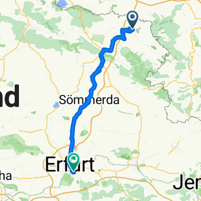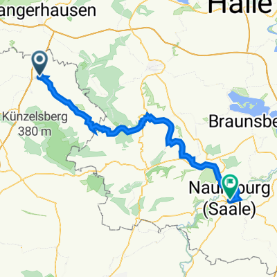
D-N-S_8b: Artern/Unstrut - Naumburg/Saale
- 64 km
- 197 m
- 191 m
- Artern, Thuringia, Germany
A cycling route starting in Artern, Thuringia, Germany.
Overview
In the land of the sky disc Character: On almost completely flat bike paths and side streets, we reach the site of the sky disc discovery. Only Wendelstein Castle and the detours to the Ark and the Nebra castle ruins feature significant, sometimes steep inclines. Traffic: Urban traffic in Artern and Nebra and on the detour to Roßleben. KOMPASS 6264 Unstrutradweg, Kay Tschersich, ISBN 978-3-85026-406-8
created this 10 years ago
Route quality
Path
18.1 km
(59 %)
Track
6.1 km
(20 %)
Paved
27.6 km
(90 %)
Unpaved
2.5 km
(8 %)
Asphalt
25.4 km
(83 %)
Gravel
2.5 km
(8 %)
Route highlights

Seit 1312 wacht Burg Wendelstein über dem Tal. Hoch über der Unstrut gelegen, thront die Burg auf einem steil nach Süden abfallenden Gipsfelsen. Verläuft nahebei heute die Landesgrenze zwischen Thüringen und Sachsen-Anhalt, so diente das Bauwerk sicher auch schon im frühen Mittelalter als Grenzfeste

Die St.-Martin-Kirche in Memleben. Schon vor mehr als tausend Jahren wurde bei Memleben Geschichte geschrieben – denn an noch nicht genau lokalisiertem Ort bestand hier eine Herrscherpfalz, in der sowohl der erste deutsche König Heinrich I. als auch der erste Kaiser Otto I. oft verweilten und schlie

Die Unstrut bei Nebra. Scheinbar untrennbar ist der Name der schönen Kleinstadt mit der berühmten Himmelsscheibe verbunden. Bild und Text - KOMPASS Verlag
Continue with Bikemap
You would like to ride 20_Artern – Nebra or customize it for your own trip? Here is what you can do with this Bikemap route:
Free trial for 3 days, or one-time payment. More about Bikemap Premium.
Discover more Premium features.
Get Bikemap PremiumFrom our community
Open it in the app