

50_Wolfratshausen – München
A cycling route starting in Wolfratshausen, Bavaria, Germany.
Overview
About this route
The Münchner Kindl and the beer gardens. Character: Along the Isar and the Isarwerk canal, firm ground towards the Mühlthal inn, sometimes firm, sometimes loose. After a steep climb over the Isar slope, back on loose ground towards Grünwald. At the Isar bank, again loose ground up to the Marienklausen bridge in Munich, then back to a firm path. Traffic: In Grünwald and Munich.
- -:--
- Duration
- 36.1 km
- Distance
- 103 m
- Ascent
- 167 m
- Descent
- ---
- Avg. speed
- ---
- Max. altitude

Route quality
Waytypes & surfaces along the route
Waytypes
Quiet road
12.3 km
(34 %)
Path
7.9 km
(22 %)
Surfaces
Paved
23.1 km
(64 %)
Unpaved
10.5 km
(29 %)
Asphalt
23.1 km
(64 %)
Loose gravel
4.3 km
(12 %)
Route highlights
Points of interest along the route

Point of interest after 11.4 km
Das Kloster Schäftlarn: 762 gegründet, gehört Schäftlarn zu den bayerischen Urklöstern. Als Gründer gilt ein Priester Waltrich, der die Gründung dem bischöflichen Stuhl in Freising als Eigenkloster übergibt; als Kanonikerstift geht es in den Ungarnwirren unter. Bischof Otto von Freising erweckt 1140

Point of interest after 35.6 km
Der Hofgarten in München. Bild-/ Textquelle: KOMPASS Verlag

Point of interest after 36 km
Das Neue Rathaus in München: Die erste Erwähnung Münchens erwuchs aus einem Streit am Reichstag zu Augsburg vor Kaiser Barbarossa zwischen Bischof Otto von Freising und Heinrich dem Löwen, Herzog von Bayern und Sachsen. Heinrich der Löwe hatte nahe einer Niederlassung bei den Mönchen, „Munichen“, ei
Continue with Bikemap
Use, edit, or download this cycling route
You would like to ride 50_Wolfratshausen – München or customize it for your own trip? Here is what you can do with this Bikemap route:
Free features
- Save this route as favorite or in collections
- Copy & plan your own version of this route
- Sync your route with Garmin or Wahoo
Premium features
Free trial for 3 days, or one-time payment. More about Bikemap Premium.
- Navigate this route on iOS & Android
- Export a GPX / KML file of this route
- Create your custom printout (try it for free)
- Download this route for offline navigation
Discover more Premium features.
Get Bikemap PremiumFrom our community
Other popular routes starting in Wolfratshausen
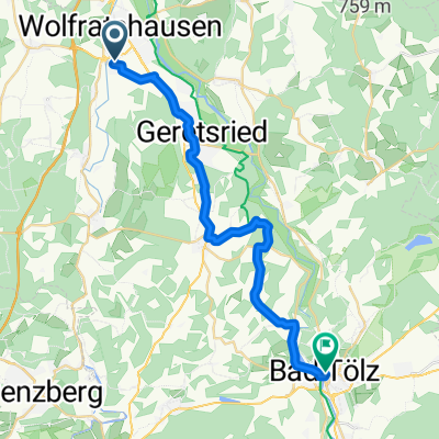 Geretsried - Bichl
- Distance
- 25.9 km
- Ascent
- 261 m
- Descent
- 188 m
- Location
- Wolfratshausen, Bavaria, Germany
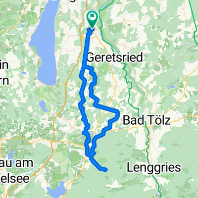
 geretsried
- Distance
- 44.2 km
- Ascent
- 368 m
- Descent
- 368 m
- Location
- Wolfratshausen, Bavaria, Germany
 Wolfratshausen Kochelsee
- Distance
- 85.6 km
- Ascent
- 716 m
- Descent
- 716 m
- Location
- Wolfratshausen, Bavaria, Germany
 Wolfratshausen-Fischbach
- Distance
- 59.4 km
- Ascent
- 614 m
- Descent
- 615 m
- Location
- Wolfratshausen, Bavaria, Germany
 50_Wolfratshausen – München
- Distance
- 36.1 km
- Ascent
- 103 m
- Descent
- 167 m
- Location
- Wolfratshausen, Bavaria, Germany
 Wor-Klosterberg-HoSchäftlarn-Irschen-Mün-Degg-Wor
- Distance
- 46.6 km
- Ascent
- 268 m
- Descent
- 268 m
- Location
- Wolfratshausen, Bavaria, Germany
 Wolfratshausen-Neufahrn-Ergertshausen-Wolfratshausen
- Distance
- 13.9 km
- Ascent
- 160 m
- Descent
- 157 m
- Location
- Wolfratshausen, Bavaria, Germany
 TA WOR Lainbachtal
- Distance
- 74.4 km
- Ascent
- 813 m
- Descent
- 809 m
- Location
- Wolfratshausen, Bavaria, Germany
Open it in the app