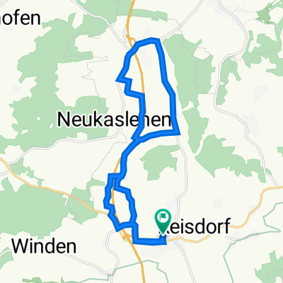
FAB 2012
A cycling route starting in Schweitenkirchen, Bavaria, Germany.
Overview
About this route
Treffpunkt Rasthof Holledau, über Wolnzach, Ober-/Niederlauterbach, Rottenegg nach Geisenfeld und an der Ilm zurück.
- -:--
- Duration
- 42 km
- Distance
- 266 m
- Ascent
- 250 m
- Descent
- ---
- Avg. speed
- 480 m
- Max. altitude
Route quality
Waytypes & surfaces along the route
Waytypes
Road
17.6 km
(42 %)
Quiet road
13.1 km
(31 %)
Surfaces
Paved
25.3 km
(60 %)
Unpaved
4.9 km
(12 %)
Asphalt
25.3 km
(60 %)
Gravel
4.6 km
(11 %)
Continue with Bikemap
Use, edit, or download this cycling route
You would like to ride FAB 2012 or customize it for your own trip? Here is what you can do with this Bikemap route:
Free features
- Save this route as favorite or in collections
- Copy & plan your own version of this route
- Sync your route with Garmin or Wahoo
Premium features
Free trial for 3 days, or one-time payment. More about Bikemap Premium.
- Navigate this route on iOS & Android
- Export a GPX / KML file of this route
- Create your custom printout (try it for free)
- Download this route for offline navigation
Discover more Premium features.
Get Bikemap PremiumFrom our community
Other popular routes starting in Schweitenkirchen
- Am Sportplatz 1, Schweitenkirchen nach St-Kastulus-Straße 14, Schweitenkirchen
- Distance
- 36.9 km
- Ascent
- 175 m
- Descent
- 163 m
- Location
- Schweitenkirchen, Bavaria, Germany
- FAB 2012
- Distance
- 42 km
- Ascent
- 266 m
- Descent
- 250 m
- Location
- Schweitenkirchen, Bavaria, Germany
- Hopfentour 2
- Distance
- 15.3 km
- Ascent
- 174 m
- Descent
- 144 m
- Location
- Schweitenkirchen, Bavaria, Germany
- Kleine Runde
- Distance
- 9.6 km
- Ascent
- 86 m
- Descent
- 86 m
- Location
- Schweitenkirchen, Bavaria, Germany
- Anglberger Weiher
- Distance
- 15.5 km
- Ascent
- 116 m
- Descent
- 211 m
- Location
- Schweitenkirchen, Bavaria, Germany
- Gundolfstraße 17, Schweitenkirchen nach Gundolfstraße 17, Schweitenkirchen
- Distance
- 32.6 km
- Ascent
- 231 m
- Descent
- 233 m
- Location
- Schweitenkirchen, Bavaria, Germany
- Knackige Fahrt in Kirchdorf an der Amper
- Distance
- 14.1 km
- Ascent
- 341 m
- Descent
- 347 m
- Location
- Schweitenkirchen, Bavaria, Germany
- Hopfentour Route 1
- Distance
- 12.2 km
- Ascent
- 137 m
- Descent
- 137 m
- Location
- Schweitenkirchen, Bavaria, Germany
Open it in the app