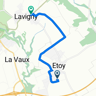
EtoyMine16-AubonneChĂȘne
A cycling route starting in Aubonne, Canton of Vaud, Switzerland.
Overview
About this route
Par le Moulin de laVaux, puis le chemin du Vallon
- -:--
- Duration
- 3.3 km
- Distance
- 96 m
- Ascent
- 90 m
- Descent
- ---
- Avg. speed
- ---
- Avg. speed
Route quality
Waytypes & surfaces along the route
Waytypes
Quiet road
2.7 km
(81 %)
Track
0.4 km
(13 %)
Surfaces
Paved
1.6 km
(47 %)
Asphalt
1.6 km
(47 %)
Undefined
1.8 km
(53 %)
Continue with Bikemap
Use, edit, or download this cycling route
You would like to ride EtoyMine16-AubonneChĂȘne or customize it for your own trip? Here is what you can do with this Bikemap route:
Free features
- Save this route as favorite or in collections
- Copy & plan your own version of this route
- Sync your route with Garmin or Wahoo
Premium features
Free trial for 3 days, or one-time payment. More about Bikemap Premium.
- Navigate this route on iOS & Android
- Export a GPX / KML file of this route
- Create your custom printout (try it for free)
- Download this route for offline navigation
Discover more Premium features.
Get Bikemap PremiumFrom our community
Other popular routes starting in Aubonne
- Sortie CPR 18.5.2019, parcours 2
- Distance
- 68 km
- Ascent
- 1,402 m
- Descent
- 1,385 m
- Location
- Aubonne, Canton of Vaud, Switzerland
- 6 Aubonne - Seyssel: 103/650
- Distance
- 97.5 km
- Ascent
- 464 m
- Descent
- 715 m
- Location
- Aubonne, Canton of Vaud, Switzerland
- Aubonne - St-Georges - St-Cergue - Barillette
- Distance
- 107.2 km
- Ascent
- 2,282 m
- Descent
- 2,295 m
- Location
- Aubonne, Canton of Vaud, Switzerland
- Aux alentours du Mollendruz
- Distance
- 98.5 km
- Ascent
- 2,277 m
- Descent
- 2,280 m
- Location
- Aubonne, Canton of Vaud, Switzerland
- Velo Perfection 2
- Distance
- 83.8 km
- Ascent
- 1,389 m
- Descent
- 1,389 m
- Location
- Aubonne, Canton of Vaud, Switzerland
- Le Stag pt.2
- Distance
- 51.4 km
- Ascent
- 277 m
- Descent
- 416 m
- Location
- Aubonne, Canton of Vaud, Switzerland
- Aubonne boucle par Arboretum
- Distance
- 15.4 km
- Ascent
- 340 m
- Descent
- 341 m
- Location
- Aubonne, Canton of Vaud, Switzerland
- EtoyMine16-AubonneChĂȘne
- Distance
- 3.3 km
- Ascent
- 96 m
- Descent
- 90 m
- Location
- Aubonne, Canton of Vaud, Switzerland
Open it in the app