20141004_160209.gpx
- 67.6 km
- 141 m
- 137 m
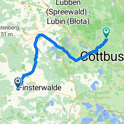
- Doberlug-Kirchhain, Brandenburg, Germany
The ice masses of the Saale glaciation shaped the south of Brandenburg through their coming and going. No less significant was the second landscape shaper of the region – the large-scale lignite mining. It created cultural landscapes with sometimes bizarre appearances, traces of which can be found throughout the nature park. In total, more than 40 mines were officially registered here, and seven briquette factories produced the sought-after fuel. On this cycling tour around Doberlug-Kirchhain, erratic boulders inscribed with 'Stepping Stones of Mining History' and information boards at the various stations point to the mining history of each location. Along the route, many other sights can be seen, such as the White Tanner Museum in Doberlug-Kirchhain, a former hard coal exploration shaft, or the monastery church and castle in Doberlug.
Quiet road
11.5 km41 %Track
5.3 km19 %Paved
18.3 km(65 %)Unpaved
6.2 km(22 %)Asphalt
17.4 km62 %Unpaved (undefined)
2 km7 %Free trial for 3 days, or one-time payment. More about Bikemap Premium.
Discover more Premium features.
Get Bikemap PremiumOpen it in the app