

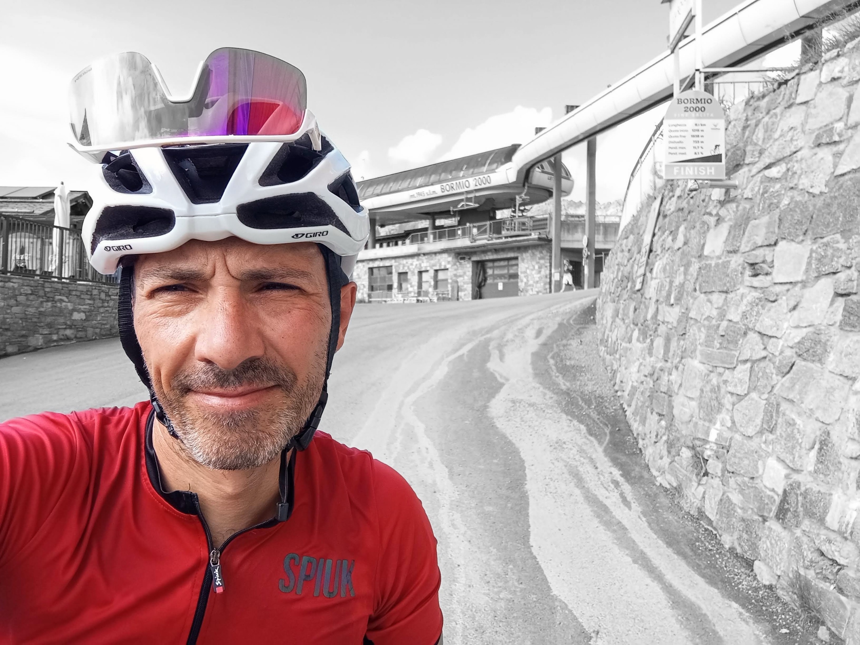
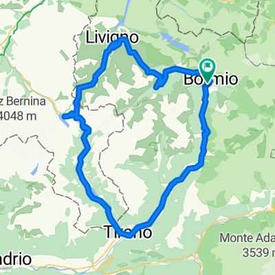
Bormio - Passo Gavia - Bormio
A cycling route starting in Bormio, Lombardy, Italy.
Overview
About this route
From Bormio, you start climbing right away; you have two rest moments until the foot of the Gavia, after which it's all uphill. 4 km below the summit, you've dealt with the steepest part, but you have to face the wind if you're unlucky; the last section isn't as steep, and you can maintain a reasonable pace.
- -:--
- Duration
- 50.6 km
- Distance
- 1,405 m
- Ascent
- 1,405 m
- Descent
- ---
- Avg. speed
- ---
- Max. altitude
Route quality
Waytypes & surfaces along the route
Waytypes
Quiet road
1.5 km
(3 %)
Path
0.5 km
(1 %)
Undefined
48.6 km
(96 %)
Surfaces
Paved
48.1 km
(95 %)
Asphalt
48.1 km
(95 %)
Undefined
2.5 km
(5 %)
Route highlights
Points of interest along the route

Point of interest after 25.3 km
De Gaviapas (Italiaans Passo di Gavia) is een bergpas in de Italiaanse Alpen, in de regio Lombardije. Het is een van de hoogste paswegen van Europa. De weg voert dwars door het ongerepte Nationaal Park Stelvio. De weg is aangelegd in de Eerste Wereldoorlog voor de bevoorrading van Italiaanse soldaten die vochten in het Italiaans-Oostenrijks grensgebied. De pashoogte behoort tot de mooiste van de Alpen. Hier ligt het grote Lago Bianco met, naar het noorden, de berg San Matteo (3684 meter). Het Lago Nero ligt iets lager aan de zuidzijde van de pas. Hier bepaalt de berggroep van de Adamello het uitzicht. In het gebied zijn vele goed gemarkeerde wandelingen uitgezet. Gedurende de winter is de pas afgesloten vanwege de enorme sneeuwval. De pas is tot in mei en juni nog vaak afgesloten vanwege de grote hoeveelheid sneeuw. https://nl.wikipedia.org/wiki/Gaviapas
Continue with Bikemap
Use, edit, or download this cycling route
You would like to ride Bormio - Passo Gavia - Bormio or customize it for your own trip? Here is what you can do with this Bikemap route:
Free features
- Save this route as favorite or in collections
- Copy & plan your own version of this route
- Sync your route with Garmin or Wahoo
Premium features
Free trial for 3 days, or one-time payment. More about Bikemap Premium.
- Navigate this route on iOS & Android
- Export a GPX / KML file of this route
- Create your custom printout (try it for free)
- Download this route for offline navigation
Discover more Premium features.
Get Bikemap PremiumFrom our community
Other popular routes starting in Bormio
 ASCENSO A BORMIO 2000 (por Bormio)
- Distance
- 9.4 km
- Ascent
- 725 m
- Descent
- 7 m
- Location
- Bormio, Lombardy, Italy
 Bormio - Bormio
- Distance
- 106.3 km
- Ascent
- 2,711 m
- Descent
- 2,713 m
- Location
- Bormio, Lombardy, Italy
 2 - BORMIO>Mazzo>P.so Mortirolo>Ponte di Legno>P.so Gavia>BORMIO
- Distance
- 113 km
- Ascent
- 3,142 m
- Descent
- 3,142 m
- Location
- Bormio, Lombardy, Italy
 AXS Tour de Alps 2009 - Stage 9°
- Distance
- 130.2 km
- Ascent
- 3,139 m
- Descent
- 3,138 m
- Location
- Bormio, Lombardy, Italy
 Stelvio sterrato
- Distance
- 62.4 km
- Ascent
- 1,896 m
- Descent
- 1,892 m
- Location
- Bormio, Lombardy, Italy
 3 - BORMIO>Mortirolo>Trivigno>Cologna>Tirano>BORMIO
- Distance
- 117 km
- Ascent
- 2,571 m
- Descent
- 2,571 m
- Location
- Bormio, Lombardy, Italy
 Bormio-Mortirolo-Gavia-Bormio
- Distance
- 110.4 km
- Ascent
- 2,999 m
- Descent
- 2,999 m
- Location
- Bormio, Lombardy, Italy
 p06 Passo dello Stelvio & Umbrailpass
- Distance
- 38.1 km
- Ascent
- 1,584 m
- Descent
- 1,404 m
- Location
- Bormio, Lombardy, Italy
Open it in the app