Halterner Straße 525/2 nach Halterner Straße 525/2
- 17.3 km
- 170 m
- 214 m
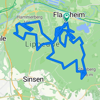
- Haltern am See, North Rhine-Westphalia, Germany
A cycling route starting in Haltern am See, North Rhine-Westphalia, Germany.
Overview
The Haltern Reservoir is one of the most popular local recreation areas in the Ruhr region and probably one of the prettiest lakes in the area. Nestled in the Hohe Mark Nature Park in northern Ruhr, near Haltern am See, often referred to as the gateway to Münsterland, lies the Stever Dam. Besides a variety of water sports opportunities, the Haltern Reservoir is especially known for its large beach, but hikers, joggers, and cyclists also find their place for activities here.
created this 10 years ago
Route quality
Quiet road
27.9 km
(47 %)
Track
13 km
(22 %)
Paved
37.4 km
(63 %)
Unpaved
16.6 km
(28 %)
Asphalt
34.4 km
(58 %)
Gravel
11.3 km
(19 %)
Route highlights

Große Teichsmühle Borkenbergestr. 78 Dülmen - Hausdülmen Tel. 02594 94350 Öffnungszeiten Sa 07:00-23:00
Jupp Unner de Böchen

Jupp der Erlebnisbiergarten Hullerner Str. 107, 45721 Haltern am See Tel. 02364 - 5216

Halterner Seeterrassen Hullerner Str. 52, 45721 Haltern am See Telefon: 02364 13493
Continue with Bikemap
You would like to ride Halterner Stausee - Hohe Mark or customize it for your own trip? Here is what you can do with this Bikemap route:
Free trial for 3 days, or one-time payment. More about Bikemap Premium.
Discover more Premium features.
Get Bikemap PremiumFrom our community
Open it in the app