
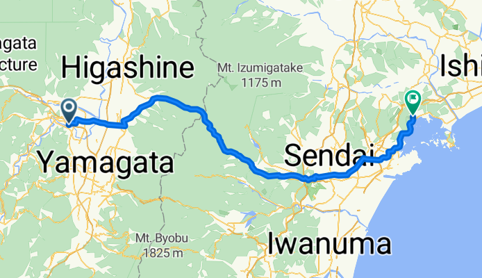
宮城1000K_寒河江- PC1
A cycling route starting in Sagae, Yamagata, Japan.
Overview
About this route
PC1 サンクス松島高城店 左側 N45 【13/23:46~14/03:16】
- -:--
- Duration
- 94.9 km
- Distance
- 620 m
- Ascent
- 723 m
- Descent
- ---
- Avg. speed
- ---
- Max. altitude

Continue with Bikemap
Use, edit, or download this cycling route
You would like to ride 宮城1000K_寒河江- PC1 or customize it for your own trip? Here is what you can do with this Bikemap route:
Free features
- Save this route as favorite or in collections
- Copy & plan your own version of this route
- Split it into stages to create a multi-day tour
- Sync your route with Garmin or Wahoo
Premium features
Free trial for 3 days, or one-time payment. More about Bikemap Premium.
- Navigate this route on iOS & Android
- Export a GPX / KML file of this route
- Create your custom printout (try it for free)
- Download this route for offline navigation
Discover more Premium features.
Get Bikemap PremiumFrom our community
Other popular routes starting in Sagae
 Day 57: Mount Zao
- Distance
- 73.2 km
- Ascent
- 1,660 m
- Descent
- 1,432 m
- Location
- Sagae, Yamagata, Japan
 最上川周回 River Mogami loop
- Distance
- 30.7 km
- Ascent
- 221 m
- Descent
- 221 m
- Location
- Sagae, Yamagata, Japan
 Hot spring and off-road
- Distance
- 375.4 km
- Ascent
- 3,220 m
- Descent
- 3,322 m
- Location
- Sagae, Yamagata, Japan
 寒河江-PC3
- Distance
- 235.4 km
- Ascent
- 739 m
- Descent
- 770 m
- Location
- Sagae, Yamagata, Japan
 宮城1000K_寒河江- PC1
- Distance
- 94.9 km
- Ascent
- 620 m
- Descent
- 723 m
- Location
- Sagae, Yamagata, Japan
 Day 56: Yamadera
- Distance
- 46.2 km
- Ascent
- 214 m
- Descent
- 214 m
- Location
- Sagae, Yamagata, Japan
 一般県道間沢寒河江山形自転車道線(さくらんぼサイクリングロード)
- Distance
- 37.6 km
- Ascent
- 189 m
- Descent
- 165 m
- Location
- Sagae, Yamagata, Japan
 葉山 1km下る
- Distance
- 8.2 km
- Ascent
- 601 m
- Descent
- 91 m
- Location
- Sagae, Yamagata, Japan
Open it in the app