

Eyachbrücke-Zuflucht
A cycling route starting in Höfen an der Enz, Baden-Wurttemberg, Germany.
Overview
About this route
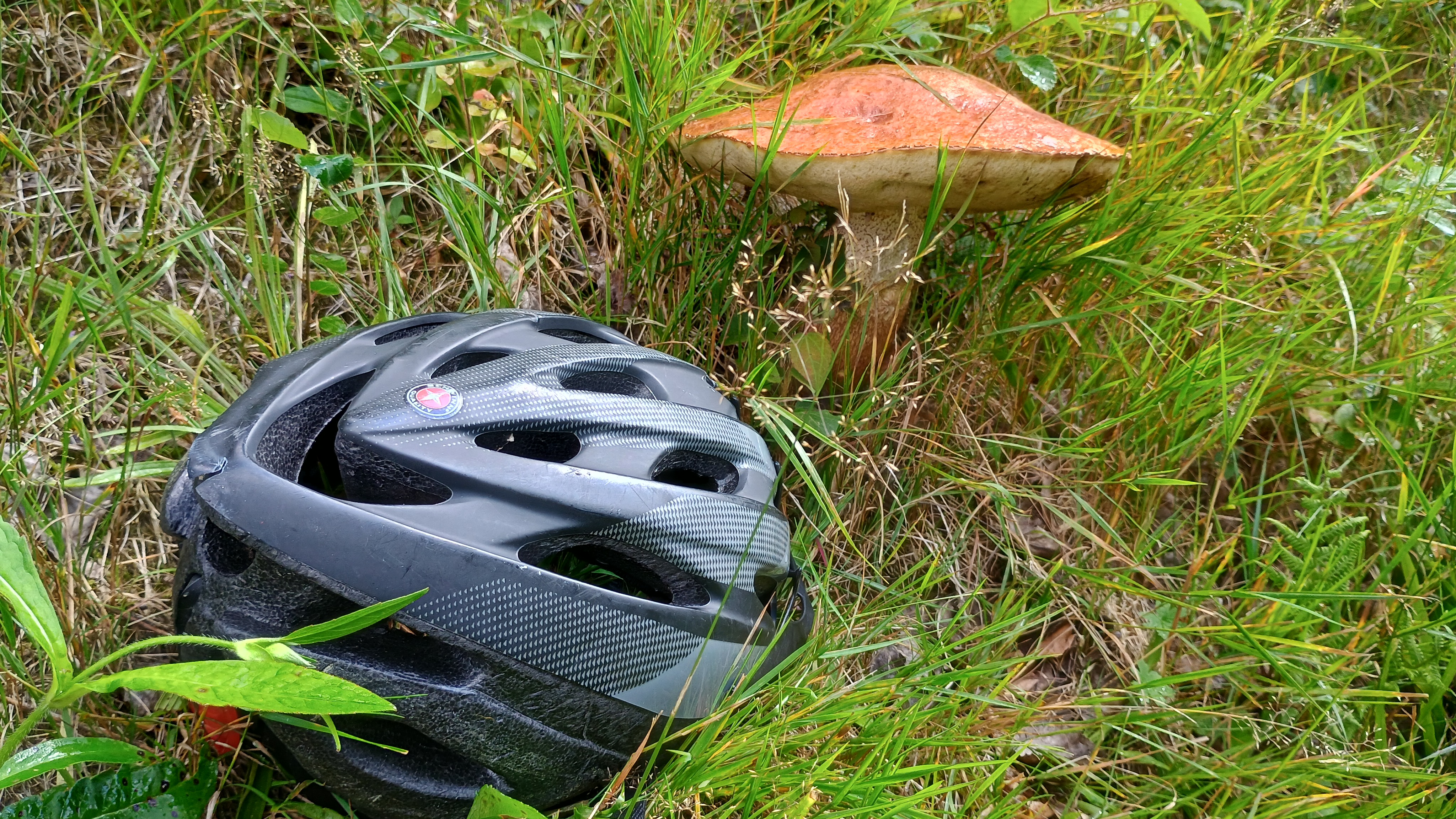
Mit dem MTB entlang des Westwegs.
Eine Befahrung des Westwegs ist an manchen Stellen nicht sinnvoll, da zu viel geschoben werden muss.- -:--
- Duration
- 77.3 km
- Distance
- 1,944 m
- Ascent
- 1,351 m
- Descent
- ---
- Avg. speed
- ---
- Max. altitude
Continue with Bikemap
Use, edit, or download this cycling route
You would like to ride Eyachbrücke-Zuflucht or customize it for your own trip? Here is what you can do with this Bikemap route:
Free features
- Save this route as favorite or in collections
- Copy & plan your own version of this route
- Sync your route with Garmin or Wahoo
Premium features
Free trial for 3 days, or one-time payment. More about Bikemap Premium.
- Navigate this route on iOS & Android
- Export a GPX / KML file of this route
- Create your custom printout (try it for free)
- Download this route for offline navigation
Discover more Premium features.
Get Bikemap PremiumFrom our community
Other popular routes starting in Höfen an der Enz
 Calmbach Meistern Poppeltal
- Distance
- 54.1 km
- Ascent
- 989 m
- Descent
- 991 m
- Location
- Höfen an der Enz, Baden-Wurttemberg, Germany
 Eyachbrücke-Zuflucht
- Distance
- 77.3 km
- Ascent
- 1,944 m
- Descent
- 1,351 m
- Location
- Höfen an der Enz, Baden-Wurttemberg, Germany
 Kaltenbronn Wi
- Distance
- 65.5 km
- Ascent
- 1,699 m
- Descent
- 1,617 m
- Location
- Höfen an der Enz, Baden-Wurttemberg, Germany
 Neuenbürg (Württ.) Eyachbrücke nach Neuenbürg Südbahnhof
- Distance
- 19.2 km
- Ascent
- 136 m
- Descent
- 167 m
- Location
- Höfen an der Enz, Baden-Wurttemberg, Germany
 my first ride on my Van Rysel gravel bike
- Distance
- 39.2 km
- Ascent
- 936 m
- Descent
- 989 m
- Location
- Höfen an der Enz, Baden-Wurttemberg, Germany
 Calmbach
- Distance
- 41.2 km
- Ascent
- 650 m
- Descent
- 650 m
- Location
- Höfen an der Enz, Baden-Wurttemberg, Germany
 test
test- Distance
- 5.5 km
- Ascent
- 147 m
- Descent
- 147 m
- Location
- Höfen an der Enz, Baden-Wurttemberg, Germany
 Schwarzwald_RR_bike-nord-sued
- Distance
- 423.6 km
- Ascent
- 5,806 m
- Descent
- 5,096 m
- Location
- Höfen an der Enz, Baden-Wurttemberg, Germany
Open it in the app