
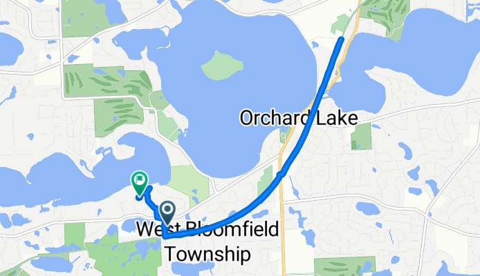
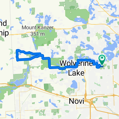
Browning Drive - Deer Run Circle
A cycling route starting in West Bloomfield, Michigan, United States.
Overview
About this route
- 1 h 4 min
- Duration
- 9 km
- Distance
- 84 m
- Ascent
- 79 m
- Descent
- 8.4 km/h
- Avg. speed
- ---
- Max. altitude
Route quality
Waytypes & surfaces along the route
Waytypes
Cycleway
7.1 km
(79 %)
Quiet road
1.7 km
(19 %)
Surfaces
Unpaved
7.1 km
(79 %)
Gravel
7.1 km
(79 %)
Undefined
1.8 km
(21 %)
Continue with Bikemap
Use, edit, or download this cycling route
You would like to ride Browning Drive - Deer Run Circle or customize it for your own trip? Here is what you can do with this Bikemap route:
Free features
- Save this route as favorite or in collections
- Copy & plan your own version of this route
- Sync your route with Garmin or Wahoo
Premium features
Free trial for 3 days, or one-time payment. More about Bikemap Premium.
- Navigate this route on iOS & Android
- Export a GPX / KML file of this route
- Create your custom printout (try it for free)
- Download this route for offline navigation
Discover more Premium features.
Get Bikemap PremiumFrom our community
Other popular routes starting in West Bloomfield
 Wheels to the road (WTTR) - Marshbank loop
- Distance
- 8.1 km
- Ascent
- 53 m
- Descent
- 52 m
- Location
- West Bloomfield, Michigan, United States
 WB to GM Proving Grounds
- Distance
- 62.1 km
- Ascent
- 167 m
- Descent
- 170 m
- Location
- West Bloomfield, Michigan, United States
 Browning Drive - Deer Run Circle
- Distance
- 9 km
- Ascent
- 84 m
- Descent
- 79 m
- Location
- West Bloomfield, Michigan, United States
 DVT WAM Training
- Distance
- 40.2 km
- Ascent
- 119 m
- Descent
- 120 m
- Location
- West Bloomfield, Michigan, United States
 313 Metro Taylor Drake Park 46.
- Distance
- 46.5 km
- Ascent
- 109 m
- Descent
- 111 m
- Location
- West Bloomfield, Michigan, United States
 Wheels to the Road (WTTR) - Orchard Mall loop
- Distance
- 8.4 km
- Ascent
- 34 m
- Descent
- 35 m
- Location
- West Bloomfield, Michigan, United States
 Maple Lakes Drive 6718, West Bloomfield Township to Verona Street 7466, West Bloomfield Township
- Distance
- 63.3 km
- Ascent
- 265 m
- Descent
- 286 m
- Location
- West Bloomfield, Michigan, United States
 4430 Deckerland St, West Bloomfield to 4430 Deckerland St, West Bloomfield
- Distance
- 12.4 km
- Ascent
- 52 m
- Descent
- 52 m
- Location
- West Bloomfield, Michigan, United States
Open it in the app