Lan Pezza Arina
- 56.4 km
- 1,190 m
- 1,190 m
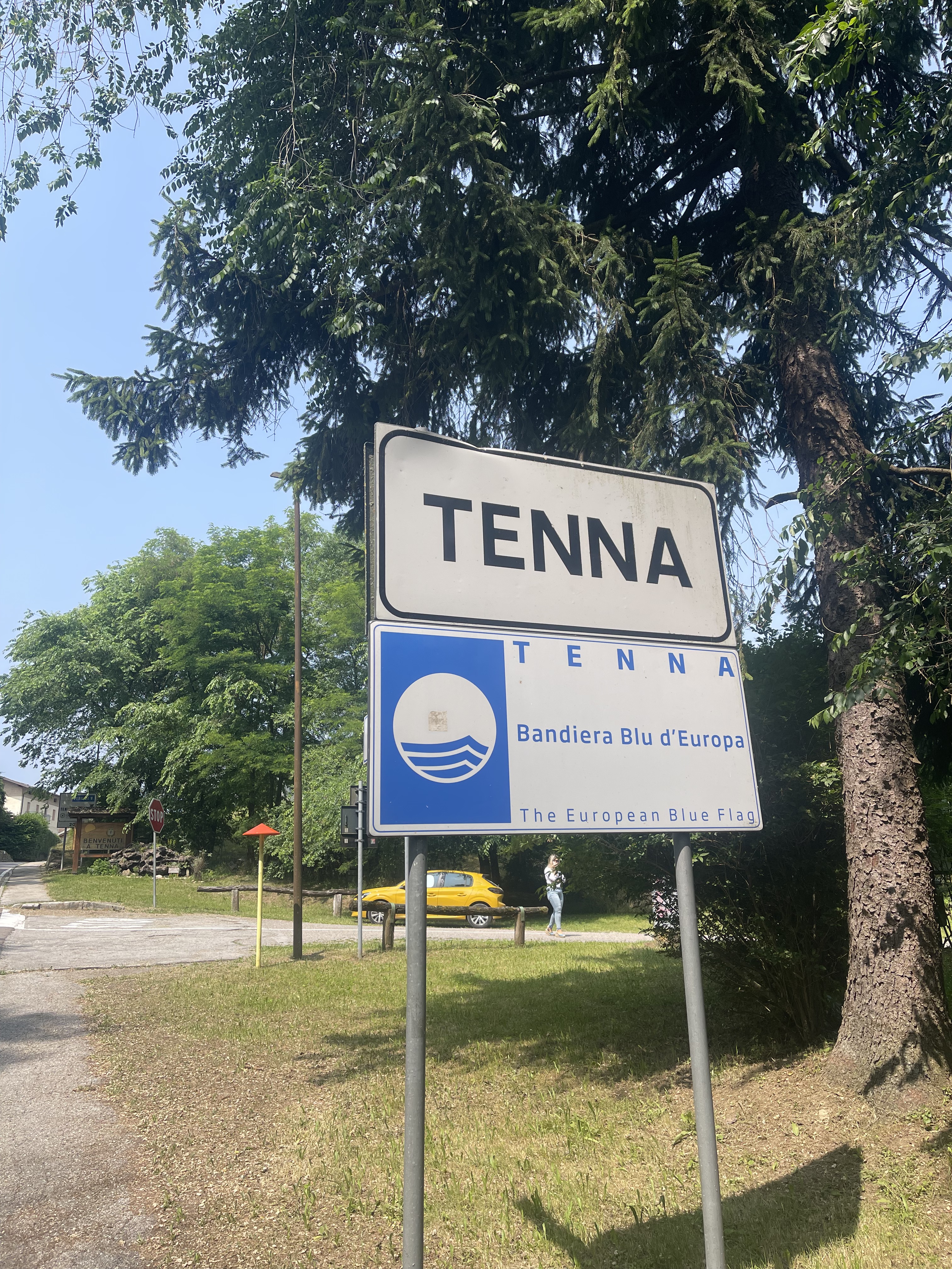
- Arsiè, Veneto, Italy
A cycling route starting in Arsiè, Veneto, Italy.
Overview
Beautiful route that requires good physical condition (32 km, 1400 m of elevation gain uphill). It is always ridden almost exclusively on well-marked paths, unpaved roads, and forest trails that are generally little trafficked. The ride offers interesting panoramic views at 360 degrees over the mountains of the Grappa massif, the Vette Feltrine and the Pale di San Martino, as well as important historical sites from World War I such as the forts of Cima Lan and Cima Campo, the vast meadows of Malga Costa, and before the descent into the valley along the trail of Val di Napp, which must be traversed with caution in some sections.
created this 10 years ago
Route highlights
Forte di Cima Lan
Fontana

Malga Costa
Malga Cima Campo

Forte di Cima Campo
Continue with Bikemap
You would like to ride I Forti di Arsiè or customize it for your own trip? Here is what you can do with this Bikemap route:
Free trial for 3 days, or one-time payment. More about Bikemap Premium.
Discover more Premium features.
Get Bikemap PremiumFrom our community
Open it in the app