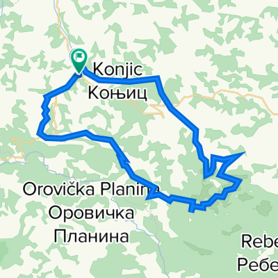
Biciklistička trasa opština Osečina

A cycling route starting in Osečina, Central Serbia, Serbia.

Overview

About this route

0

Biciklistička trasa

-:--
Duration
95.1 km
Distance
1,540 m
Ascent
1,540 m
Descent
---
Avg. speed
---
Avg. speed

Route highlights

Points of interest along the route

  1. Highlight 1 along the Bikemap route "Biciklistička trasa opština Osečina"

    Point of interest after 40.8 km

    Najviši vrh Sokolskih planina - Rožanj (973 m)

  2. Highlight 2 along the Bikemap route "Biciklistička trasa opština Osečina"

    Point of interest after 57.1 km

    Tešmanov konak

  3. Highlight 3 along the Bikemap route "Biciklistička trasa opština Osečina"

    Point of interest after 76.3 km

    Manastir u Plušcu

  4. Highlight 4 along the Bikemap route "Biciklistička trasa opština Osečina"

    Point of interest after 83.4 km

    Memorijalni kompleks u Gornjem Crniljevu

Continue with Bikemap

Use, edit, or download this cycling route

You would like to ride Biciklistička trasa opština Osečina or customize it for your own trip? Here is what you can do with this Bikemap route:

Free features

Premium features

Free trial for 3 days, or one-time payment. More about Bikemap Premium.

  • Navigate this route on iOS & Android
  • Export a GPX / KML file of this route
  • Create your custom printout (try it for free)
  • Download this route for offline navigation

Discover more Premium features.

Get Bikemap Premium

From our community

Other popular routes starting in Osečina

Open it in the app