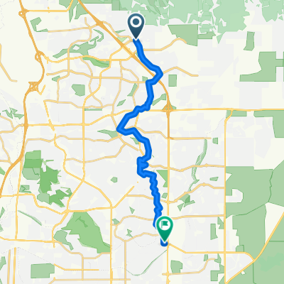
Peyton Post Office to Querida Drive 1002, Colorado Springs
- 40.4 km
- 65 m
- 139 m
- Black Forest, Colorado, United States
A cycling route starting in Black Forest, Colorado, United States.
Overview
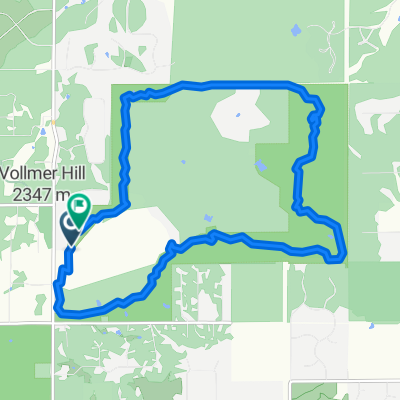
Out and back north on Meridian
created this 10 years ago
Continue with Bikemap
You would like to ride Falcon N 20 Mi or customize it for your own trip? Here is what you can do with this Bikemap route:
Free trial for 3 days, or one-time payment. More about Bikemap Premium.
Discover more Premium features.
Get Bikemap PremiumFrom our community
Open it in the app