

Tour2011Ushuaia(Arg)-Temuko(Ch) CLONED FROM ROUTE 350466
A cycling route starting in Ushuaia, Tierra del Fuego Province, Argentina.
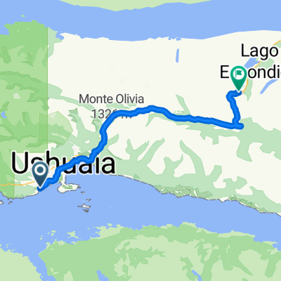
Overview
About this route
Ushuaia - Rio Grande - Porvenir - Punta Arenas - Puerto Natales - NP Torres del Paine - El Calafate - NP Los Glaciares -El Chaltén - OHiggins - Coihaique - Villa Santa Lucia - Futaleufú - Trevelin - PN Los Alerces - El Bolsón - San Carlos de Bariloche-Porto Puelo-Puerto Blest-Puerto Alegre- Puerto Frias - Paso Perez Rosales -Peulla - Petrohue - Ensanada - Puerto Varas - Frutilar-Puerto Octay - Entre Lagos - Lago Correntoso (Arg.)San Martin de Los Andes - Junin de Los Andes - Paso Mamuil Malal - Pucon - Villarica -Temuco .....Abflub nach Salta (Arg).
(cloned from route 1651825)
- -:--
- Duration
- 7,049.3 km
- Distance
- 14,148 m
- Ascent
- 10,371 m
- Descent
- ---
- Avg. speed
- ---
- Avg. speed

Continue with Bikemap
Use, edit, or download this cycling route
You would like to ride Tour2011Ushuaia(Arg)-Temuko(Ch) CLONED FROM ROUTE 350466 or customize it for your own trip? Here is what you can do with this Bikemap route:
Free features
- Save this route as favorite or in collections
- Copy & plan your own version of this route
- Sync your route with Garmin or Wahoo
Premium features
Free trial for 3 days, or one-time payment. More about Bikemap Premium.
- Navigate this route on iOS & Android
- Export a GPX / KML file of this route
- Create your custom printout (try it for free)
- Download this route for offline navigation
Discover more Premium features.
Get Bikemap PremiumFrom our community
Other popular routes starting in Ushuaia
 South America
- Distance
- 2,334.2 km
- Ascent
- 2,802 m
- Descent
- 2,999 m
- Location
- Ushuaia, Tierra del Fuego Province, Argentina
 Ushuaia - Paso Garibaldi
- Distance
- 55 km
- Ascent
- 688 m
- Descent
- 378 m
- Location
- Ushuaia, Tierra del Fuego Province, Argentina
 pedalling patagonia Feb 2016 Update
- Distance
- 8,353 km
- Ascent
- 10,823 m
- Descent
- 10,469 m
- Location
- Ushuaia, Tierra del Fuego Province, Argentina
 De Hielos Continentales, Ushuaia a Paseo Roque Sánchez Galdeano, Ushuaia
- Distance
- 4.5 km
- Ascent
- 13 m
- Descent
- 12 m
- Location
- Ushuaia, Tierra del Fuego Province, Argentina
 Rio Encajonado
- Distance
- 19.4 km
- Ascent
- 214 m
- Descent
- 226 m
- Location
- Ushuaia, Tierra del Fuego Province, Argentina
 Tour2011Ushuaia(Arg)-Temuko(Ch) CLONED FROM ROUTE 350466
- Distance
- 7,049.3 km
- Ascent
- 14,148 m
- Descent
- 10,371 m
- Location
- Ushuaia, Tierra del Fuego Province, Argentina
 De Hielos Continentales, Ushuaia a Paseo Roque Sánchez Galdeano, Ushuaia
- Distance
- 4.5 km
- Ascent
- 13 m
- Descent
- 12 m
- Location
- Ushuaia, Tierra del Fuego Province, Argentina
 De Hielos Continentales, Ushuaia a Paseo Roque Sánchez Galdeano, Ushuaia
- Distance
- 4.5 km
- Ascent
- 13 m
- Descent
- 12 m
- Location
- Ushuaia, Tierra del Fuego Province, Argentina
Open it in the app