

Okruh Mukařov - Tuchoraz
A cycling route starting in Mukařov, Central Bohemia, Czechia.
Overview
About this route
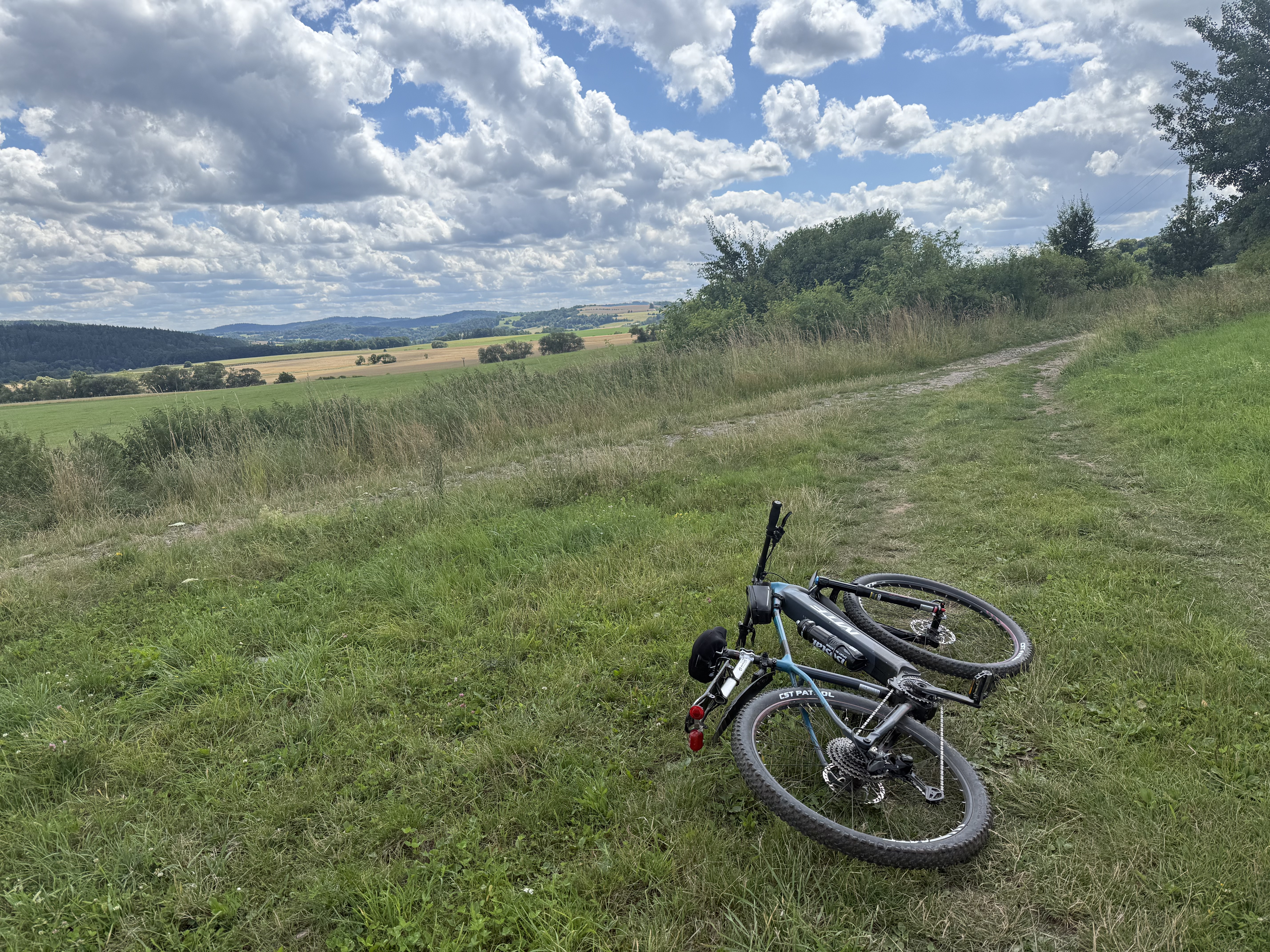
Route on bike paths between Mukařov and Tuchoraz
- -:--
- Duration
- 26.5 km
- Distance
- 287 m
- Ascent
- 282 m
- Descent
- ---
- Avg. speed
- ---
- Max. altitude

Route quality
Waytypes & surfaces along the route
Waytypes
Road
11.7 km
(44 %)
Track
8.2 km
(31 %)
Surfaces
Paved
10.3 km
(39 %)
Unpaved
7.2 km
(27 %)
Asphalt
9.5 km
(36 %)
Unpaved (undefined)
2.9 km
(11 %)
Continue with Bikemap
Use, edit, or download this cycling route
You would like to ride Okruh Mukařov - Tuchoraz or customize it for your own trip? Here is what you can do with this Bikemap route:
Free features
- Save this route as favorite or in collections
- Copy & plan your own version of this route
- Sync your route with Garmin or Wahoo
Premium features
Free trial for 3 days, or one-time payment. More about Bikemap Premium.
- Navigate this route on iOS & Android
- Export a GPX / KML file of this route
- Create your custom printout (try it for free)
- Download this route for offline navigation
Discover more Premium features.
Get Bikemap PremiumFrom our community
Other popular routes starting in Mukařov
 Školní, Mukařov do Hlavní, Senohraby
- Distance
- 42.6 km
- Ascent
- 453 m
- Descent
- 546 m
- Location
- Mukařov, Central Bohemia, Czechia
 VD Srbin-Mnichovka 45
- Distance
- 46.4 km
- Ascent
- 662 m
- Descent
- 663 m
- Location
- Mukařov, Central Bohemia, Czechia
 Březí - Týnec nad Vltavou - Dolní Břežany - Průhonice - Březí
- Distance
- 90.2 km
- Ascent
- 668 m
- Descent
- 656 m
- Location
- Mukařov, Central Bohemia, Czechia
 Okruh Mukařov - Tuchoraz
- Distance
- 26.5 km
- Ascent
- 287 m
- Descent
- 282 m
- Location
- Mukařov, Central Bohemia, Czechia
 8218: Strašín – Mukařov – K Svojeticům
- Distance
- 6.7 km
- Ascent
- 93 m
- Descent
- 39 m
- Location
- Mukařov, Central Bohemia, Czechia
 8206: Babice – Doubek – Zahrady
- Distance
- 13.2 km
- Ascent
- 100 m
- Descent
- 265 m
- Location
- Mukařov, Central Bohemia, Czechia
 mag2016 no.6 final Hr-Škv
- Distance
- 15.4 km
- Ascent
- 125 m
- Descent
- 197 m
- Location
- Mukařov, Central Bohemia, Czechia
 VD Srbin-Mnichovka 45
- Distance
- 46.5 km
- Ascent
- 655 m
- Descent
- 656 m
- Location
- Mukařov, Central Bohemia, Czechia
Open it in the app