

RTF Oberstedten (keine Gewähr)
A cycling route starting in Oberursel, Hesse, Germany.
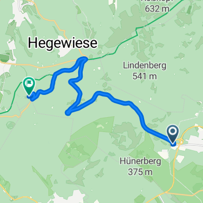
Overview
About this route
nach RTF Ausschreibung, Strecke selbst noch nicht gefahren.
- -:--
- Duration
- 116.3 km
- Distance
- 1,435 m
- Ascent
- 1,285 m
- Descent
- ---
- Avg. speed
- 526 m
- Max. altitude
Route quality
Waytypes & surfaces along the route
Waytypes
Road
30.2 km
(26 %)
Quiet road
7 km
(6 %)
Surfaces
Paved
91.9 km
(79 %)
Unpaved
3.5 km
(3 %)
Asphalt
90.7 km
(78 %)
Paved (undefined)
1.2 km
(1 %)
Continue with Bikemap
Use, edit, or download this cycling route
You would like to ride RTF Oberstedten (keine Gewähr) or customize it for your own trip? Here is what you can do with this Bikemap route:
Free features
- Save this route as favorite or in collections
- Copy & plan your own version of this route
- Split it into stages to create a multi-day tour
- Sync your route with Garmin or Wahoo
Premium features
Free trial for 3 days, or one-time payment. More about Bikemap Premium.
- Navigate this route on iOS & Android
- Export a GPX / KML file of this route
- Create your custom printout (try it for free)
- Download this route for offline navigation
Discover more Premium features.
Get Bikemap PremiumFrom our community
Other popular routes starting in Oberursel
 Hohemark 40km 1250hm
- Distance
- 40.3 km
- Ascent
- 1,207 m
- Descent
- 1,207 m
- Location
- Oberursel, Hesse, Germany
 Feierabendrunde Taunus
- Distance
- 59 km
- Ascent
- 628 m
- Descent
- 629 m
- Location
- Oberursel, Hesse, Germany
 Hohemark-Feldberg-Cross
- Distance
- 23.9 km
- Ascent
- 715 m
- Descent
- 715 m
- Location
- Oberursel, Hesse, Germany
 Oberstedten RTF 110 km
- Distance
- 109.2 km
- Ascent
- 1,426 m
- Descent
- 1,194 m
- Location
- Oberursel, Hesse, Germany
 Hohe Mark - Sandplacken Runde
- Distance
- 21.4 km
- Ascent
- 453 m
- Descent
- 330 m
- Location
- Oberursel, Hesse, Germany
 Taunustrails
- Distance
- 46.7 km
- Ascent
- 1,158 m
- Descent
- 867 m
- Location
- Oberursel, Hesse, Germany
 Feldberg
- Distance
- 11.7 km
- Ascent
- 562 m
- Descent
- 15 m
- Location
- Oberursel, Hesse, Germany
 40km rund um Hohemark v2
- Distance
- 39.9 km
- Ascent
- 1,219 m
- Descent
- 1,219 m
- Location
- Oberursel, Hesse, Germany
Open it in the app