

Nagoldtalrunde
A cycling route starting in Weil der Stadt, Baden-Wurttemberg, Germany.
Overview
About this route
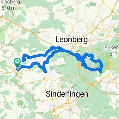
WdS, Calw, Wildberg, Kuppingen, Gärtringen, Aidlingen, Grafenau, Schafhausen
A relaxing tour through the black forest along the river Nagold.
The route can be easily done with Trekking bikes or eBikes (i guess).
I added locations for resupplying or having proper food.
(cloned from route 3210983)
- -:--
- Duration
- 56.8 km
- Distance
- 531 m
- Ascent
- 531 m
- Descent
- ---
- Avg. speed
- ---
- Max. altitude

Route quality
Waytypes & surfaces along the route
Waytypes
Track
35.8 km
(63 %)
Quiet road
10.8 km
(19 %)
Surfaces
Paved
46.6 km
(82 %)
Unpaved
7.4 km
(13 %)
Asphalt
42.6 km
(75 %)
Loose gravel
4 km
(7 %)
Route highlights
Points of interest along the route
Point of interest after 4.8 km
Brewery (but it's a bit early for that)
Point of interest after 14 km
Brewery
Point of interest after 15.8 km
Obivously this is where Superman (aka Clark Kent) is from...
Point of interest after 25.7 km
Buy some water or have lunch before it goes way up...
Point of interest after 41.5 km
Ice cream?
Point of interest after 47.6 km
American Diner (if you're hungry)
Point of interest after 55.8 km
Café
Point of interest after 55.9 km
Good Rice / Noodles
Point of interest after 55.9 km
Ice Cream
Point of interest after 55.9 km
Good Pizza
Point of interest after 55.9 km
Supermarket (need Water?)
Point of interest after 56 km
Ice Cream
Point of interest after 56.5 km
Calwer Tor (Café / Bar)
Point of interest after 56.5 km
Ice Cream
Point of interest after 56.5 km
Ox & Q (Inn - http://www.oxundq.de/)
Continue with Bikemap
Use, edit, or download this cycling route
You would like to ride Nagoldtalrunde or customize it for your own trip? Here is what you can do with this Bikemap route:
Free features
- Save this route as favorite or in collections
- Copy & plan your own version of this route
- Sync your route with Garmin or Wahoo
Premium features
Free trial for 3 days, or one-time payment. More about Bikemap Premium.
- Navigate this route on iOS & Android
- Export a GPX / KML file of this route
- Create your custom printout (try it for free)
- Download this route for offline navigation
Discover more Premium features.
Get Bikemap PremiumFrom our community
Other popular routes starting in Weil der Stadt
 Glemsquellenrunde
- Distance
- 42.5 km
- Ascent
- 429 m
- Descent
- 432 m
- Location
- Weil der Stadt, Baden-Wurttemberg, Germany
 Avoid crossing major roads (WIP)
- Distance
- 52.9 km
- Ascent
- 447 m
- Descent
- 449 m
- Location
- Weil der Stadt, Baden-Wurttemberg, Germany
 Klettern im Nordschwarzwald
- Distance
- 126.1 km
- Ascent
- 2,975 m
- Descent
- 2,878 m
- Location
- Weil der Stadt, Baden-Wurttemberg, Germany
 Weil der Stadt - Biergarten Gaststätte Waldschenke
- Distance
- 19.3 km
- Ascent
- 160 m
- Descent
- 160 m
- Location
- Weil der Stadt, Baden-Wurttemberg, Germany
 Weil der Stadt (extended)
- Distance
- 38.9 km
- Ascent
- 454 m
- Descent
- 454 m
- Location
- Weil der Stadt, Baden-Wurttemberg, Germany
 Nagoldtalrunde
- Distance
- 56.8 km
- Ascent
- 531 m
- Descent
- 531 m
- Location
- Weil der Stadt, Baden-Wurttemberg, Germany
 000_41km_17-Radler_WdStadt-Calw-Bad Liebenzell-Pforzheim
- Distance
- 41.8 km
- Ascent
- 321 m
- Descent
- 463 m
- Location
- Weil der Stadt, Baden-Wurttemberg, Germany
 Weil der Stadt Simmozheim Althengstett
- Distance
- 40 km
- Ascent
- 291 m
- Descent
- 303 m
- Location
- Weil der Stadt, Baden-Wurttemberg, Germany
Open it in the app