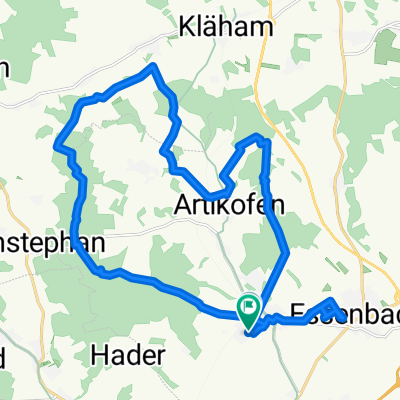
Sonntagsrunde nach Rottenburg a.d.L
A cycling route starting in Essenbach, Bavaria, Germany.
Overview
About this route
ab Ergoldsbach kann man auch den Wirtschaftsweg neben der B15 nach Martinshaun zu verwenden (Unterführung vorhanden). B15 kreuzen und wieder dem Wirtschaftsweg folgen.
Bei dieser Variante braucht man die B15 nur einmal kreuzen
- -:--
- Duration
- 48.9 km
- Distance
- 454 m
- Ascent
- 423 m
- Descent
- ---
- Avg. speed
- 490 m
- Avg. speed
Route quality
Waytypes & surfaces along the route
Waytypes
Quiet road
26.1 km
(53 %)
Road
8.2 km
(17 %)
Surfaces
Paved
33.9 km
(69 %)
Unpaved
3 km
(6 %)
Asphalt
33.8 km
(69 %)
Unpaved (undefined)
2.3 km
(5 %)
Continue with Bikemap
Use, edit, or download this cycling route
You would like to ride Sonntagsrunde nach Rottenburg a.d.L or customize it for your own trip? Here is what you can do with this Bikemap route:
Free features
- Save this route as favorite or in collections
- Copy & plan your own version of this route
- Sync your route with Garmin or Wahoo
Premium features
Free trial for 3 days, or one-time payment. More about Bikemap Premium.
- Navigate this route on iOS & Android
- Export a GPX / KML file of this route
- Create your custom printout (try it for free)
- Download this route for offline navigation
Discover more Premium features.
Get Bikemap PremiumFrom our community
Other popular routes starting in Essenbach
- test2
- Distance
- 24.4 km
- Ascent
- 78 m
- Descent
- 78 m
- Location
- Essenbach, Bavaria, Germany
- ESPRESSO AUSFLUG
- Distance
- 86.2 km
- Ascent
- 241 m
- Descent
- 241 m
- Location
- Essenbach, Bavaria, Germany
- Feierabendquicki
- Distance
- 39.8 km
- Ascent
- 195 m
- Descent
- 195 m
- Location
- Essenbach, Bavaria, Germany
- Chiemseetour_14.08.2012
- Distance
- 195.8 km
- Ascent
- 633 m
- Descent
- 646 m
- Location
- Essenbach, Bavaria, Germany
- Langsame Fahrt in Kraiburg am Inn
- Distance
- 63.1 km
- Ascent
- 692 m
- Descent
- 668 m
- Location
- Essenbach, Bavaria, Germany
- Da Jägerstraße 41, Essenbach a Untere Auenstraße 10, Landshut
- Distance
- 12.2 km
- Ascent
- 110 m
- Descent
- 88 m
- Location
- Essenbach, Bavaria, Germany
- Ohu - Dingolfing - Ohu
- Distance
- 53.5 km
- Ascent
- 345 m
- Descent
- 324 m
- Location
- Essenbach, Bavaria, Germany
- Sonntagsrunde nach Rottenburg a.d.L
- Distance
- 48.9 km
- Ascent
- 454 m
- Descent
- 423 m
- Location
- Essenbach, Bavaria, Germany
Open it in the app