

To try, long one
A cycling route starting in Cergy, Île-de-France Region, France.
Overview
About this route
Avenue verte puis gisors puis retour depuis le nord de cergy
- -:--
- Duration
- 112.3 km
- Distance
- 536 m
- Ascent
- 536 m
- Descent
- ---
- Avg. speed
- ---
- Max. altitude
Route quality
Waytypes & surfaces along the route
Waytypes
Road
29.2 km
(26 %)
Quiet road
24.7 km
(22 %)
Surfaces
Paved
59.5 km
(53 %)
Unpaved
4.5 km
(4 %)
Asphalt
58.4 km
(52 %)
Loose gravel
3.4 km
(3 %)
Continue with Bikemap
Use, edit, or download this cycling route
You would like to ride To try, long one or customize it for your own trip? Here is what you can do with this Bikemap route:
Free features
- Save this route as favorite or in collections
- Copy & plan your own version of this route
- Split it into stages to create a multi-day tour
- Sync your route with Garmin or Wahoo
Premium features
Free trial for 3 days, or one-time payment. More about Bikemap Premium.
- Navigate this route on iOS & Android
- Export a GPX / KML file of this route
- Create your custom printout (try it for free)
- Download this route for offline navigation
Discover more Premium features.
Get Bikemap PremiumFrom our community
Other popular routes starting in Cergy
 tour base
- Distance
- 8.6 km
- Ascent
- 32 m
- Descent
- 32 m
- Location
- Cergy, Île-de-France Region, France
 5. Clergy to Paris
- Distance
- 53.9 km
- Ascent
- 323 m
- Descent
- 326 m
- Location
- Cergy, Île-de-France Region, France
 tour base
- Distance
- 13.2 km
- Ascent
- 38 m
- Descent
- 38 m
- Location
- Cergy, Île-de-France Region, France
 8 mai 2015
- Distance
- 50 km
- Ascent
- 148 m
- Descent
- 147 m
- Location
- Cergy, Île-de-France Region, France
 To try, long one
- Distance
- 112.3 km
- Ascent
- 536 m
- Descent
- 536 m
- Location
- Cergy, Île-de-France Region, France
 De Quai de la Tourelle 2, Cergy à Rue de la Justice 54, Conflans-Sainte-Honorine
- Distance
- 8 km
- Ascent
- 81 m
- Descent
- 47 m
- Location
- Cergy, Île-de-France Region, France
 De Les Bocages Marines 18, Pontoise à Les Bocages Bruns 42, Cergy
- Distance
- 7.5 km
- Ascent
- 124 m
- Descent
- 121 m
- Location
- Cergy, Île-de-France Region, France
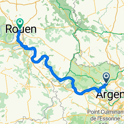 Cergy - Rouen par la Seine
- Distance
- 149.6 km
- Ascent
- 429 m
- Descent
- 465 m
- Location
- Cergy, Île-de-France Region, France
Open it in the app