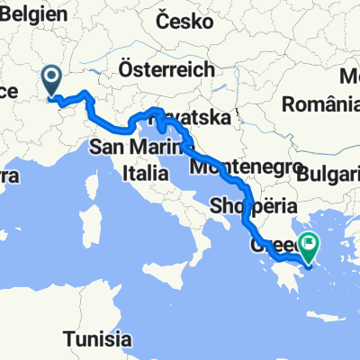
LLD2.2: Nernier to Geneva
- 29.2 km
- 157 m
- 164 m
- Messery, Auvergne-Rhône-Alpes, France
A cycling route starting in Messery, Auvergne-Rhône-Alpes, France.
Overview
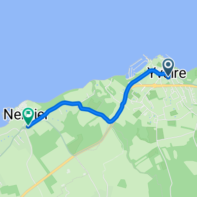
First, via a side road to the picturesque Yvoire, then to Thonon avoiding the main road with little contact with the lake. Bypassing the bustling Thonon along the promenade, inland parallel to the main road through the hilltop Publier down to Evian. After that, the long ascent begins, steep only in a few places, mostly through the woods, towards La Beunaz. Downhill through Bernex until the closure before Vacheresse. The detour leads up a narrow winding road to Le Fion and then along the slope to the foot of the Col de Corbier in Bennevaux. The unimpressive pass is crossed quickly, and one arrives at the junction to the heavily trafficked valley road up to Morzine. Behind a tunnel lies St. Jean-d'Aulps, where there is already a nice campsite. After the village, there are two diversion options to ascend to the campsite in Essert-Romand, which, however, is only open in high season. Otherwise, one eventually ends up at the spartan campsite in Montriond.
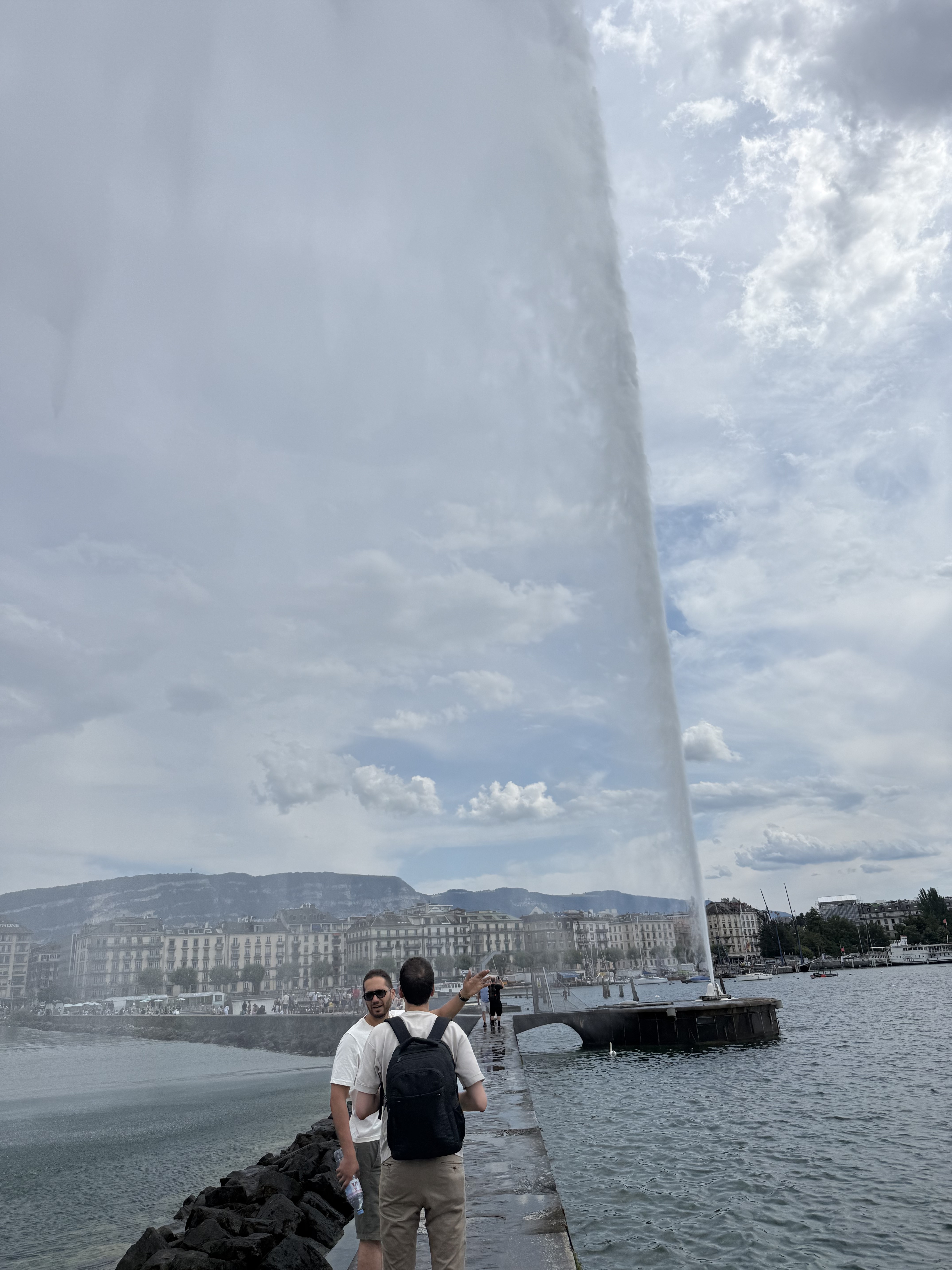
Fifth of twenty stages of a cycling tour around Switzerland. The route, initially near the lakes with the pretty lakeside towns of Yvoire and Evian-les-Bains, eventually turns towards alpine areas with occasional viewpoints, but despite crossing a pass, it fails to inspire.
created this 10 years ago
Route quality
Road
39.8 km
(43 %)
Quiet road
23.1 km
(25 %)
Paved
59.3 km
(64 %)
Asphalt
58.3 km
(63 %)
Paved (undefined)
0.9 km
(1 %)
Undefined
33.3 km
(36 %)
Continue with Bikemap
You would like to ride (05) Messery - Morzine or customize it for your own trip? Here is what you can do with this Bikemap route:
Free trial for 3 days, or one-time payment. More about Bikemap Premium.
Discover more Premium features.
Get Bikemap PremiumFrom our community
Open it in the app