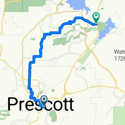
Route to Watson Lake
- 34.2 km
- 518 m
- 518 m
- Prescott, Arizona, United States
A cycling route starting in Prescott, Arizona, United States.
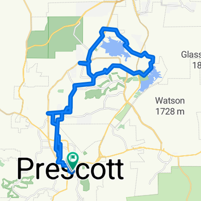
Overview
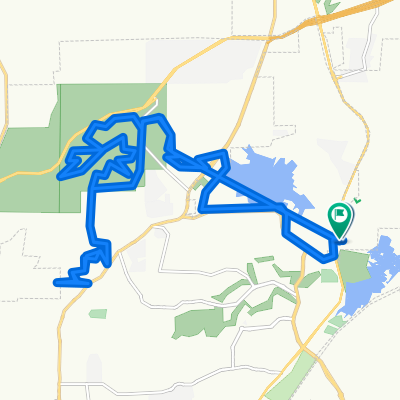
Skull Valley Loop from Sidewinder Rd
Route quality
Quiet road
5.1 km
(6 %)
Access road
1.7 km
(2 %)
Paved
32.6 km
(38 %)
Unpaved
0.9 km
(1 %)
Asphalt
32.6 km
(38 %)
Unpaved (undefined)
0.9 km
(1 %)
Undefined
52.3 km
(61 %)
Continue with Bikemap
You would like to ride Skull Valley Loop from Sidewinder Rd or customize it for your own trip? Here is what you can do with this Bikemap route:
Free trial for 3 days, or one-time payment. More about Bikemap Premium.
Discover more Premium features.
Get Bikemap PremiumFrom our community
Open it in the app